Transport Functions
Multimodal
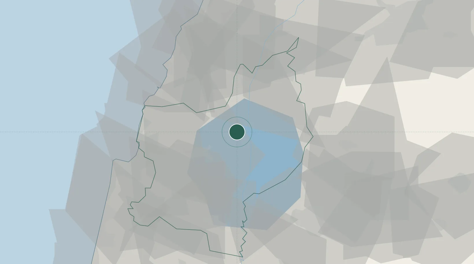
Location
Nearby Logistics Neighbours
Cities
- 1Tiberias19 km
- 2Gush Halav24 km
- 3Haddatha25 km
- 4Beit Zera32 km
- 5Nazareth37 km
Ports
- 1Haifa53 km
- 2Sayda62 km
- 3Sidon/zahrani Terminal66 km
- 4Hadera81 km
- 5Bayrut104 km
Airports
Trade Zones
DatabookThe Record of Consolidated Knowledge
Israel beyond logistics?