Transport Functions
Port
Road
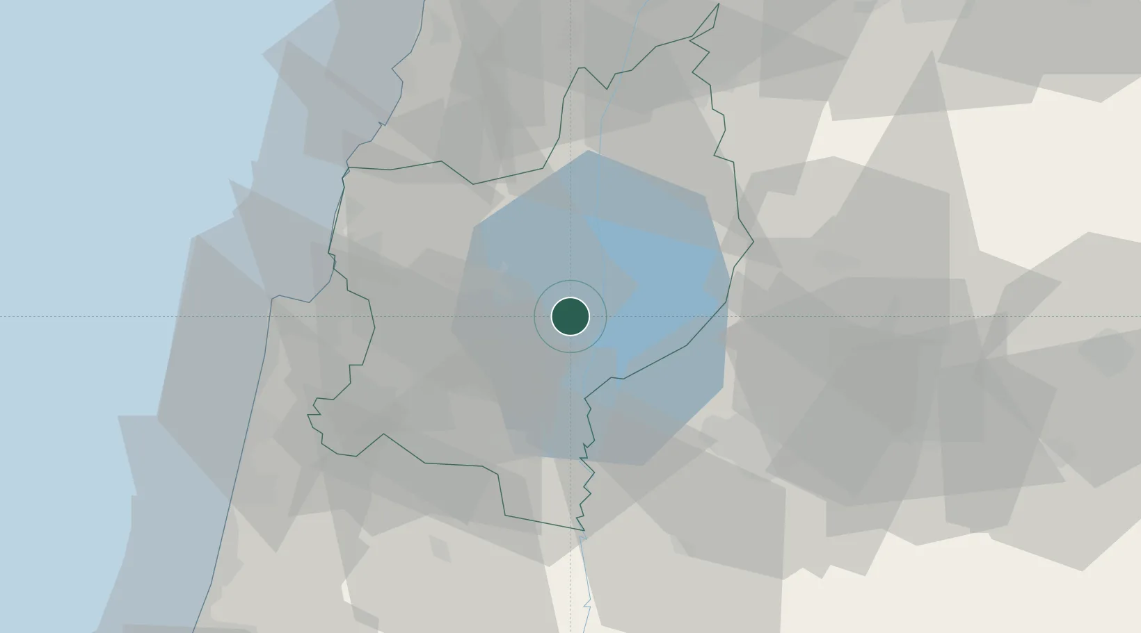
Hub Profile
Place type
Populated place
Region
Northern District
Population
44,779
Time zone
Asia/Jerusalem
Elevation
-140 m
Location
Nearby Logistics Neighbours
Cities
- 1Beit Zera13 km
- 2Hazor19 km
- 3Newe Ur24 km
- 4Nazareth25 km
- 5Beit Shean Rail Terminal34 km
Ports
- 1Haifa50 km
- 2Hadera70 km
- 3Sayda80 km
- 4Sidon/zahrani Terminal84 km
- 5Bayrut122 km
Airports
Trade Zones
DatabookThe Record of Consolidated Knowledge
Israel beyond logistics?