Transport Functions
Multimodal
Hub Profile
Place type
Provincial seat
Region
Fukushima
Population
59,491
Time zone
Asia/Tokyo
Elevation
323 m
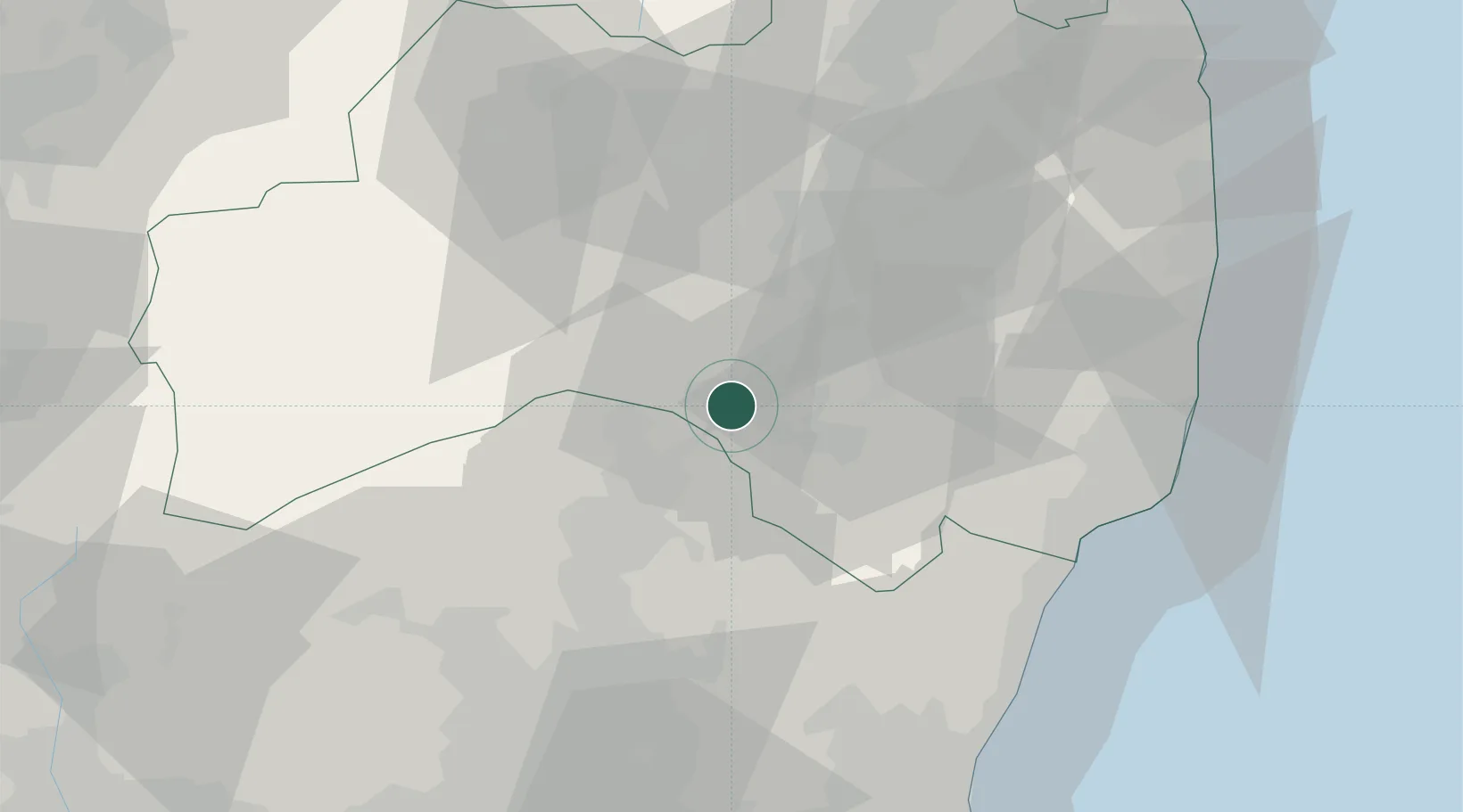
Location
Nearby Logistics Neighbours
Cities
- 1Tanagura, Fukushima19 km
- 2Nasushiobara21 km
- 3Otawara32 km
- 4Aizuwakamatsu42 km
- 5Tamura48 km
Ports
- 1Onahama Ko65 km
- 2Hitachi79 km
- 3Soma104 km
- 4Eastern Part Of Niigata-Ko131 km
- 5Niigata Ko135 km
Airports
- 1Fukushima Airport24 km
- 2Utsunomiya Airport73 km
- 3Ibaraki International Airport106 km
- 4Sendai Airport130 km
- 5Niigata Airport134 km
Trade Zones
- 1Tsukuba International Strategic Comprehensive Special Zone121 km
- 2Gunma Environmentally Friendly Livestock Promotion Special Zone123 km
- 3Gunma Cancer Treatment Technology Regional Revitalization Comprehensive Special Zone128 km
- 4Niigata City Strategic Special Zone136 km
- 5Kashiwanoha Campus Special Zone138 km
DatabookThe Record of Consolidated Knowledge
Japan beyond logistics?