Transport Functions
Multimodal
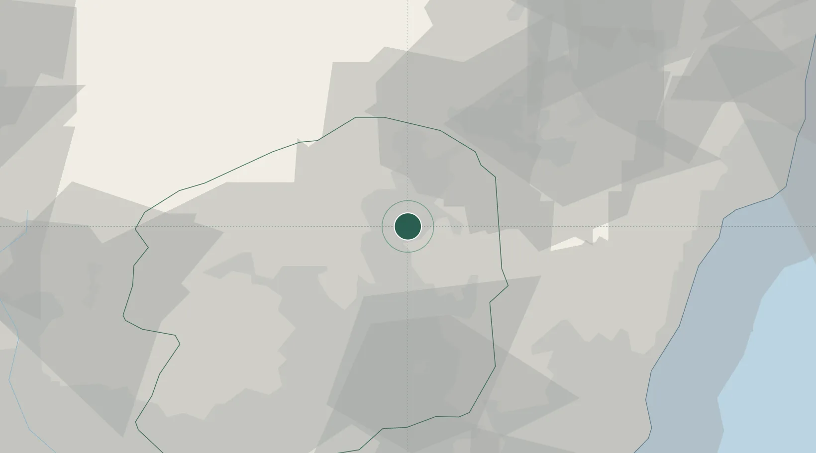
Hub Profile
Place type
Provincial seat
Region
Tochigi
Population
72,087
Time zone
Asia/Tokyo
Elevation
205 m
Location
Nearby Logistics Neighbours
Cities
- 1Nasushiobara12 km
- 2Shirakawa32 km
- 3Tanagura, Fukushima35 km
- 4Nikko39 km
- 5Kanuma42 km
Ports
- 1Hitachi69 km
- 2Onahama Ko79 km
- 3Kashima Ko121 km
- 4Funabashi134 km
- 5Soma136 km
Airports
- 1Utsunomiya Airport41 km
- 2Fukushima Airport54 km
- 3Ibaraki International Airport84 km
- 4JMSDF Shimofusa Air Base119 km
- 5Iruma Air Base126 km
Trade Zones
- 1Tsukuba International Strategic Comprehensive Special Zone95 km
- 2Gunma Environmentally Friendly Livestock Promotion Special Zone99 km
- 3Gunma Cancer Treatment Technology Regional Revitalization Comprehensive Special Zone99 km
- 4Kashiwanoha Campus Special Zone108 km
- 5Saitama Next-Generation Automobile Smart Energy Special Zone111 km
DatabookThe Record of Consolidated Knowledge
Japan beyond logistics?