Specialized Zone · Japan
Gunma Environmentally Friendly Livestock Promotion Special Zone Inactive
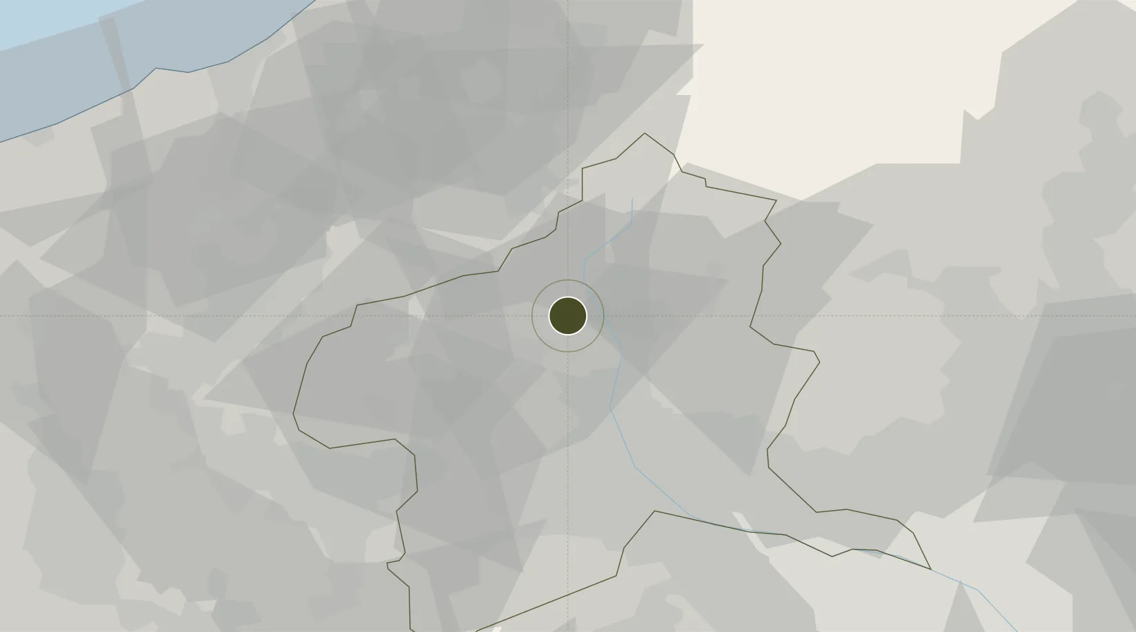
36.6672°, 138.9358°
200 ha
Zone area
83.7 km
Nearest port
85.2 km
Nearest airport
Gateway access
Zone profile
Zone type
Specialized Zone
Specialization
Agriculture
Region
Gunma
Status
Inactive
Management
Public
Operator
Gunma Prefecture Government
Legal framework
Gunma Area Revitalization Policy
Location
Nearby Logistics Neighbours
Ports
- 1Naoetsu Ko84 km
- 2Kashiwazaki85 km
- 3Himekawa105 km
- 4Tokyo Ko133 km
- 5Niigata Ko139 km
Airports
- 1Utsunomiya Airport85 km
- 2Iruma Air Base101 km
- 3Shinshu-Matsumoto Airport106 km
- 4Yokota Air Base109 km
- 5Chofu Airport123 km
Cities
- 1Minakami-Cho4 km
- 2Kawaba15 km
- 3Shibukawa21 km
- 4Yuzawa, Niigata31 km
- 5Miyagi33 km
Trade Zones
- 1Gunma Cancer Treatment Technology Regional Revitalization Comprehensive Special Zone28 km
- 2Nagaoka Independent Local Community Creation Special Zone91 km
- 3Saitama Next-Generation Automobile Smart Energy Special Zone106 km
- 4Sagami Robot Industrial Special Zone124 km
- 5Minami-Alps Competitiveness and Sustainability Special Zone125 km
DatabookThe Record of Consolidated Knowledge
Japan beyond logistics?