Transport Functions
Multimodal
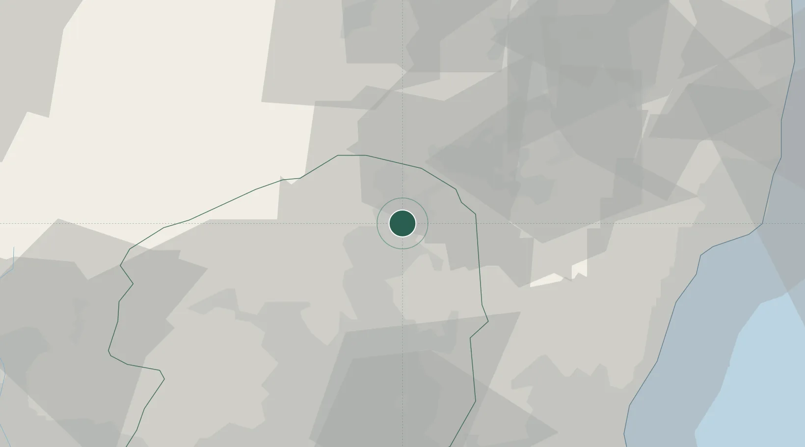
Hub Profile
Place type
Populated place
Region
Tochigi
Population
115,794
Time zone
Asia/Tokyo
Elevation
280 m
Location
Nearby Logistics Neighbours
Cities
- 1Otawara12 km
- 2Shirakawa21 km
- 3Tanagura, Fukushima29 km
- 4Nikko47 km
- 5Kanuma53 km
Ports
- 1Hitachi74 km
- 2Onahama Ko76 km
- 3Soma125 km
- 4Kashima Ko129 km
- 5Eastern Part Of Niigata-Ko137 km
Airports
- 1Fukushima Airport45 km
- 2Utsunomiya Airport53 km
- 3Ibaraki International Airport93 km
- 4JMSDF Shimofusa Air Base130 km
- 5Narita International Airport137 km
Trade Zones
- 1Gunma Environmentally Friendly Livestock Promotion Special Zone105 km
- 2Tsukuba International Strategic Comprehensive Special Zone106 km
- 3Gunma Cancer Treatment Technology Regional Revitalization Comprehensive Special Zone108 km
- 4Kashiwanoha Campus Special Zone120 km
- 5Saitama Next-Generation Automobile Smart Energy Special Zone123 km
DatabookThe Record of Consolidated Knowledge
Japan beyond logistics?