Specialized Zone · Japan

Gunma Cancer Treatment Technology Regional Revitalization Comprehensive Special Zone Active
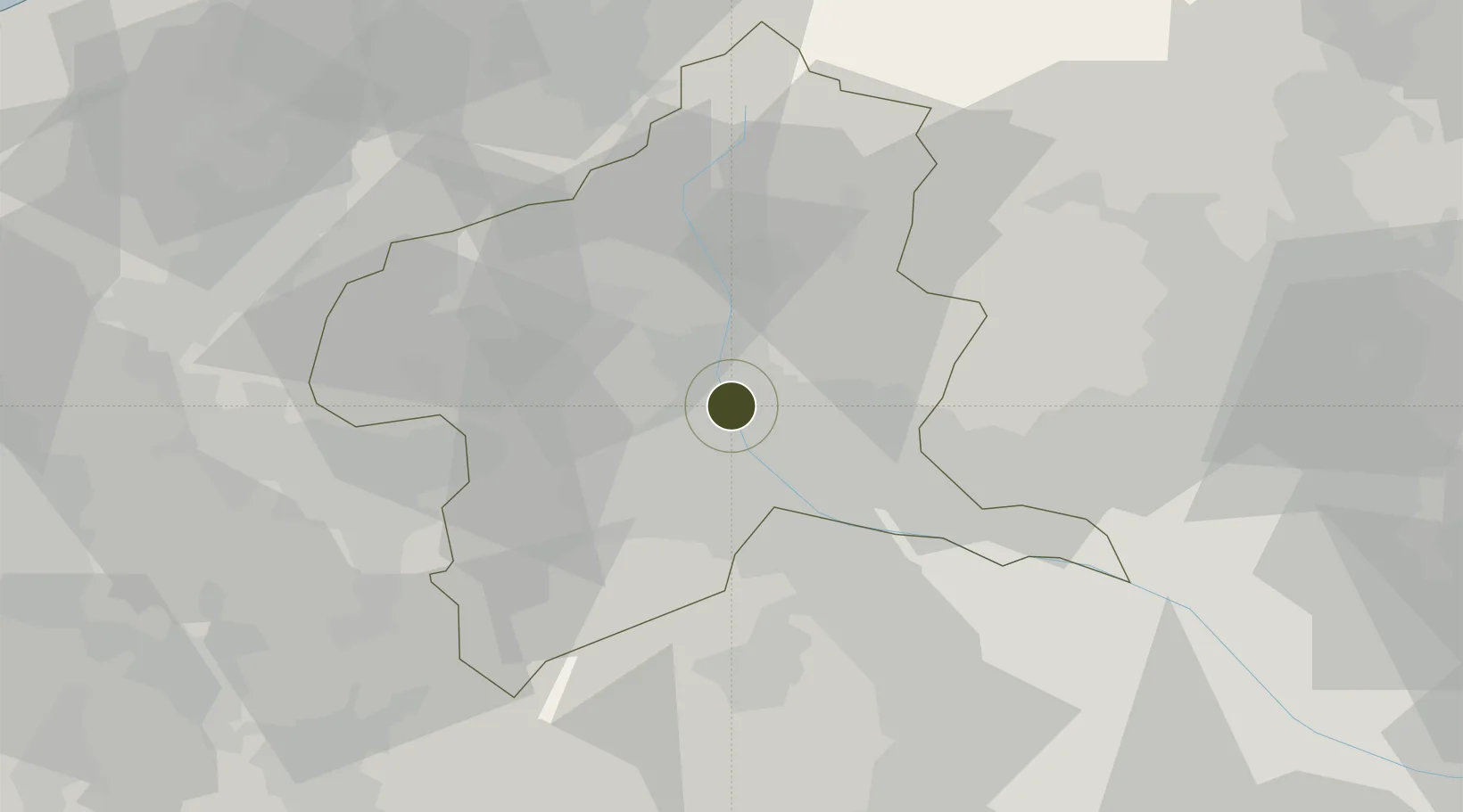
36.4310°, 139.0445°
106.0 km
Nearest port
73.3 km
Nearest airport

Gateway access

Nearest neighbours — logibook spatial index (haversine) over the source coordinates

Zone profile

Zone type
Specialized Zone
Open Zone Map
Specialization
Medical
Open Zone Map
Region
Gunma
Open Zone Map
Status
Active
Open Zone Map
Management
Public
Open Zone Map
Operator
Gunma Prefecture
Open Zone Map
Legal framework
2019 Regional Revitalization Comprehensive Special Zone Extension Decision
Open Zone Map

Location

Location of ozm-2604
Natural Earth 10m (public domain) · Gunma · ozm-2604 · 36.43, 139.04GoogleOSMYandex

Nearby Logistics Neighbours

Ports
  1. 1Tokyo Ko106 km
  2. 2Naoetsu Ko110 km
  3. 3Kashiwazaki113 km
  4. 4Funabashi118 km
  5. 5Yokohama Ko119 km
Nearest neighbours — logibook spatial index (haversine) over the source coordinates
Airports
  1. 1Iruma Air Base73 km
  2. 2Utsunomiya Airport75 km
  3. 3Yokota Air Base81 km
  4. 4Chofu Airport95 km
  5. 5Shinshu-Matsumoto Airport105 km
Nearest neighbours — logibook spatial index (haversine) over the source coordinates
Cities
  1. 1Shibukawa7 km
  2. 2Miyagi11 km
  3. 3Annaka18 km
  4. 4Isesaki19 km
  5. 5Honjyo26 km
Nearest neighbours — logibook spatial index (haversine) over the source coordinates
DatabookThe Record of Consolidated Knowledge
Japan beyond logistics?
Browse databook

All Sources

Trade ZonesOpen Zone Map
CC BY
Portsthe NGA World Port Index
Public domain (US gov)
AirportsOurAirports
Public domain
LocationsUN/LOCODE
UN/LOCODE — free
← Japan trade zones