Transport Functions
Multimodal
Hub Profile
Region
39
Location
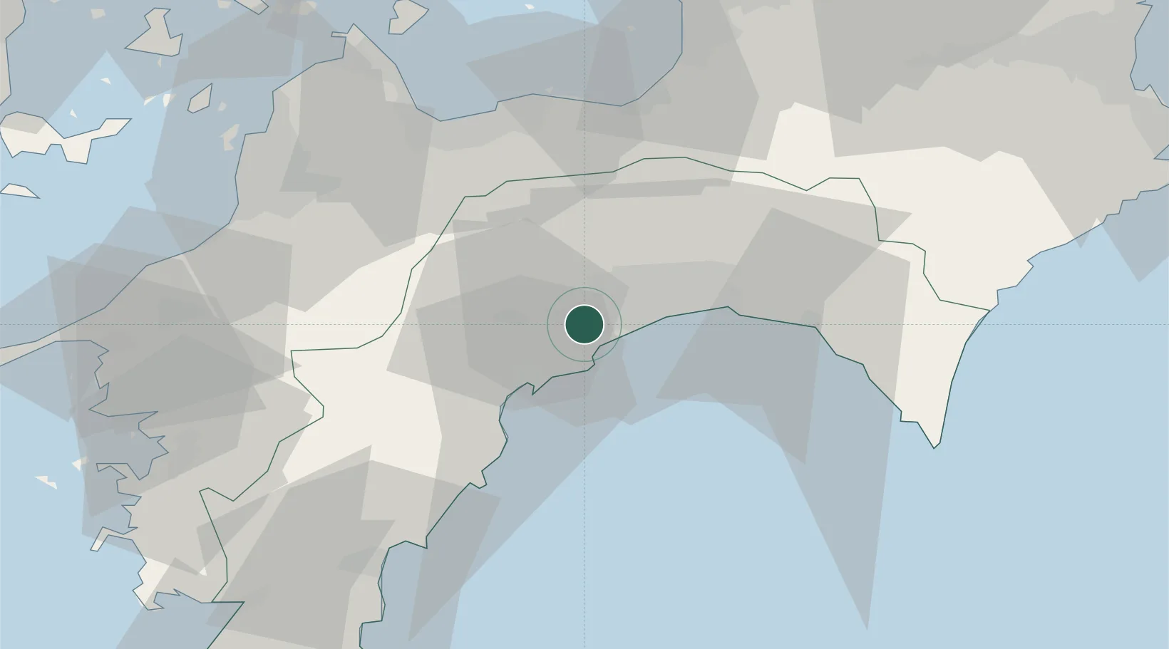
Nearby Logistics Neighbours
Cities
- 1Ino6 km
- 2Kochi14 km
- 3Aki, Kochi43 km
- 4Niihama55 km
- 5Shikokuchuo55 km
Ports
- 1Kochi Ko12 km
- 2Susaki Ko18 km
- 3Niihama56 km
- 4Mishima-Kawanoe Ko57 km
- 5Imabari Ko74 km
Airports
- 1Kochi Ryoma Airport23 km
- 2Matsuyama Airport77 km
- 3Takamatsu Airport96 km
- 4Hiroshima Airport114 km
- 5Tokushima Awaodori Airport / JMSDF Tokushima Air Base129 km
Trade Zones
- 1Saijō Agricultural Innovation City General Special Zone54 km
- 2Kagawa Medical Welfare General Special Zone94 km
- 3Hiroshima Environmental Tourism Model Urban Development Promotion Special Zone107 km
- 4Onomichi Regional Medical Cooperation Promotion Special Zone108 km
- 5Takamatsu Compact Eco-City Special Zone111 km
DatabookThe Record of Consolidated Knowledge
Japan beyond logistics?