Transport Functions
Multimodal
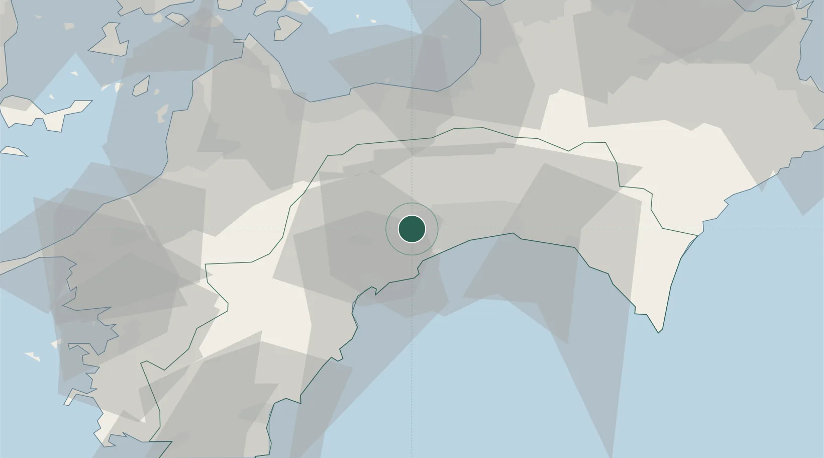
Hub Profile
Place type
Populated place
Region
Kochi
Population
22,155
Time zone
Asia/Tokyo
Elevation
29 m
Location
Nearby Logistics Neighbours
Cities
- 1Tosa, Kochi6 km
- 2Kochi15 km
- 3Aki, Kochi44 km
- 4Niihama49 km
- 5Shikokuchuo49 km
Ports
- 1Kochi Ko14 km
- 2Susaki Ko22 km
- 3Niihama50 km
- 4Mishima-Kawanoe Ko51 km
- 5Imabari Ko69 km
Airports
- 1Kochi Ryoma Airport22 km
- 2Matsuyama Airport75 km
- 3Takamatsu Airport91 km
- 4Hiroshima Airport109 km
- 5Tokushima Awaodori Airport / JMSDF Tokushima Air Base126 km
Trade Zones
- 1Saijō Agricultural Innovation City General Special Zone50 km
- 2Kagawa Medical Welfare General Special Zone89 km
- 3Hiroshima Environmental Tourism Model Urban Development Promotion Special Zone101 km
- 4Onomichi Regional Medical Cooperation Promotion Special Zone103 km
- 5Takamatsu Compact Eco-City Special Zone106 km
DatabookThe Record of Consolidated Knowledge
Japan beyond logistics?