UN/LOCODE hub · Israel
ILBTZ

Beit Zera

32.6833°, 35.5667°
2
Transport functions

Transport Functions

Rail
Road
UN/LOCODE

Hub Profile

Region
Z
GeoNames
Logistics facilities
1
UN/LOCODE

Location

Location of ILBTZ
Natural Earth 10m (public domain) · Z · ILBTZ · 32.68, 35.57GoogleOSMYandex

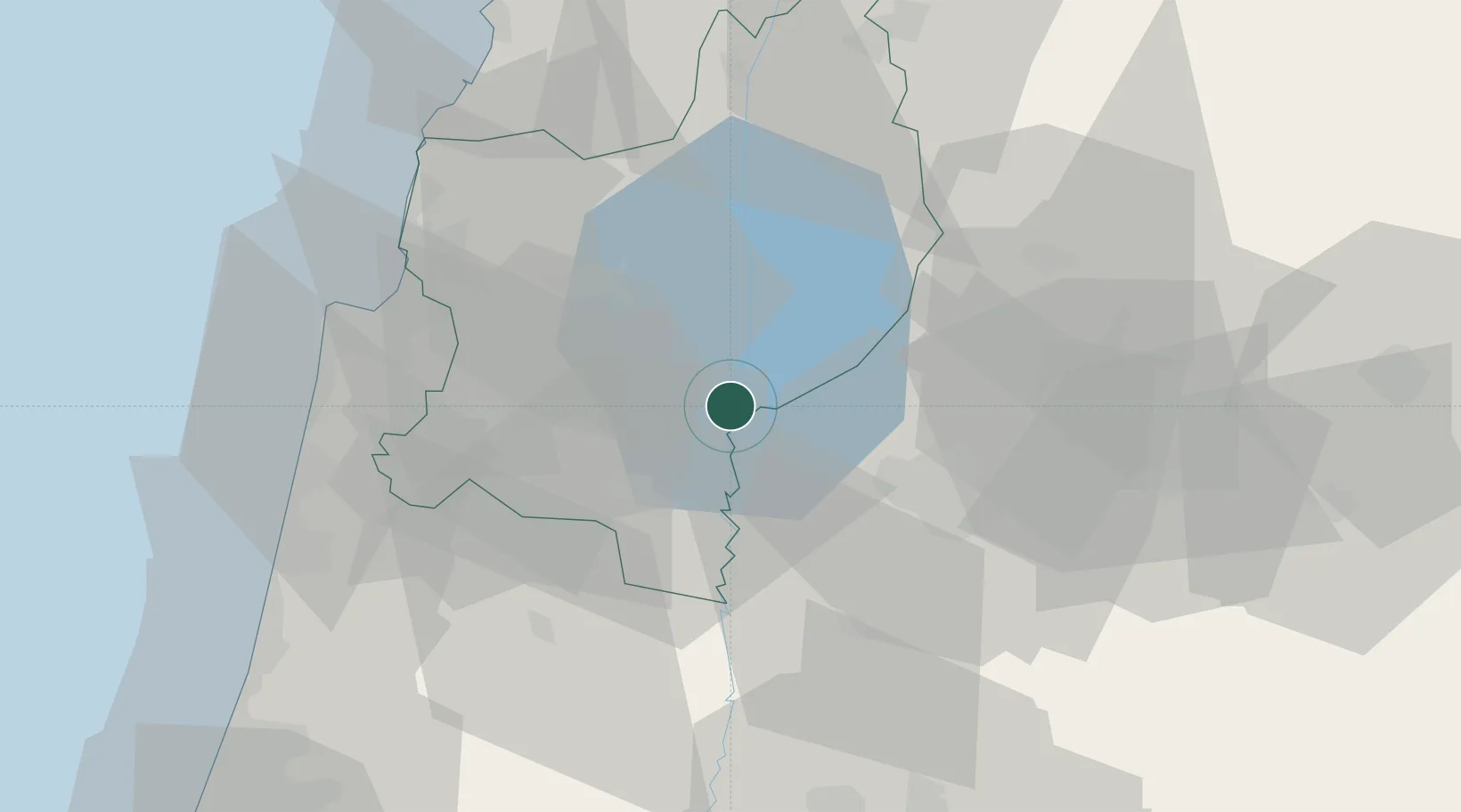
Nearby Logistics Neighbours

Cities
  1. 1Newe Ur11 km
  2. 2Tiberias13 km
  3. 3Beit Shean Rail Terminal21 km
  4. 4Arava Terminal Zin22 km
  5. 5Nazareth25 km
Nearest neighbours — logibook spatial index (haversine) over the source coordinates
Ports
  1. 1Haifa55 km
  2. 2Hadera67 km
  3. 3Sayda93 km
  4. 4Sidon/zahrani Terminal97 km
  5. 5Ashdod129 km
Nearest neighbours — logibook spatial index (haversine) over the source coordinates
Airports
  1. 1Rosh Pina Airport33 km
  2. 2Ramat David Air Base36 km
  3. 3Uri Michaeli Haifa International Airport51 km
  4. 4Marka International (Amman Civil) Airport89 km
  5. 5Ben Gurion International Airport98 km
Nearest neighbours — logibook spatial index (haversine) over the source coordinates
Trade Zones
  1. 1Jenin Industrial Free Zone (JIFZ)37 km
  2. 2Ajloun Ajlun Development Zone42 km
  3. 3Irbid Development Area44 km
  4. 4Al-Hassan Industrial estate48 km
  5. 5Jarash Development Zone52 km
Nearest neighbours — logibook spatial index (haversine) over the source coordinates
DatabookThe Record of Consolidated Knowledge
Israel beyond logistics?
Browse databook

All Sources

LocationsUN/LOCODE
UN/LOCODE — free
Portsthe NGA World Port Index
Public domain (US gov)
AirportsOurAirports
Public domain
Trade Zonesthe World Bank SEZ database
CC BY 4.0
Trade ZonesOpen Zone Map
CC BY
← Israel locations