UN/LOCODE hub · Israel
ILNUR

Newe Ur

32.5833°, 35.5500°
2
Transport functions

Transport Functions

Road
Multimodal
UN/LOCODE

Location

Location of ILNUR
Natural Earth 10m (public domain) · HaZafon · ILNUR · 32.58, 35.55GoogleOSMYandex

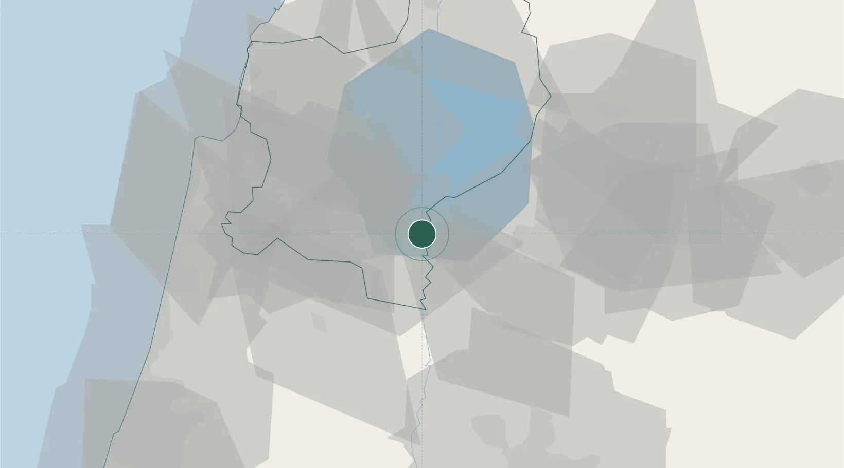
Nearby Logistics Neighbours

Cities
  1. 1Beit Shean Rail Terminal10 km
  2. 2Beit Zera11 km
  3. 3Arava Terminal Zin11 km
  4. 4Tiberias24 km
  5. 5Nazareth27 km
Nearest neighbours — logibook spatial index (haversine) over the source coordinates
Ports
  1. 1Haifa58 km
  2. 2Hadera62 km
  3. 3Sayda104 km
  4. 4Sidon/zahrani Terminal108 km
  5. 5Ashdod120 km
Nearest neighbours — logibook spatial index (haversine) over the source coordinates
Airports
  1. 1Ramat David Air Base36 km
  2. 2Rosh Pina Airport44 km
  3. 3Uri Michaeli Haifa International Airport54 km
  4. 4Marka International (Amman Civil) Airport80 km
  5. 5Ben Gurion International Airport89 km
Nearest neighbours — logibook spatial index (haversine) over the source coordinates
Trade Zones
  1. 1Jenin Industrial Free Zone (JIFZ)29 km
  2. 2Ajloun Ajlun Development Zone33 km
  3. 3Irbid Development Area41 km
  4. 4Jarash Development Zone43 km
  5. 5Al-Hassan Industrial estate46 km
Nearest neighbours — logibook spatial index (haversine) over the source coordinates
DatabookThe Record of Consolidated Knowledge
Israel beyond logistics?
Browse databook

All Sources

LocationsUN/LOCODE
UN/LOCODE — free
Portsthe NGA World Port Index
Public domain (US gov)
AirportsOurAirports
Public domain
Trade Zonesthe World Bank SEZ database
CC BY 4.0
Trade ZonesOpen Zone Map
CC BY
← Israel locations