Large airport · Jordan

Marka International (Amman Civil) AirportOJAM
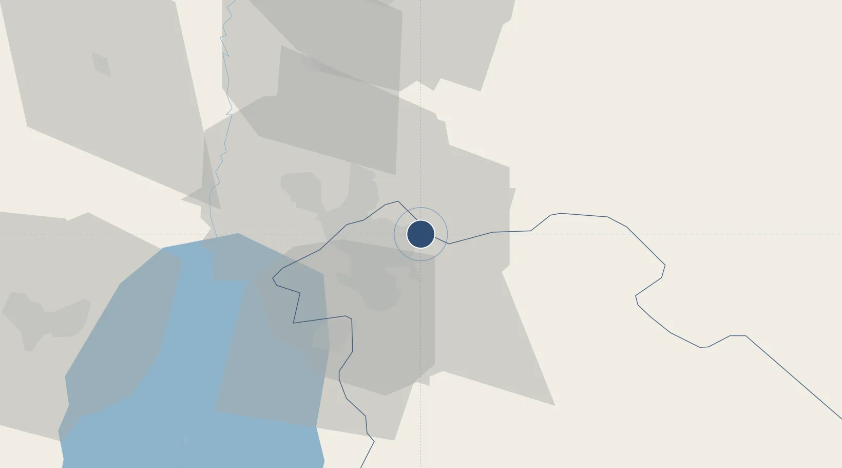
31.9727°, 35.9916°
10,745 ft
Longest runway
1
Runways
2,555 ft
Elevation

Runway & Layout

Marka International (Amman Civil) Airport runway & taxiway layout
Runway & taxiway layout — OpenStreetMap (ODbL) / OurAirports

Radio Frequencies

TWR
118.1 MHz
AMMAN TWR
GND
121.7 MHz
AMMAN GND
APP
128.9 MHz
AMMAN APP
OurAirports

Navaids

AMN VOR-DME Amman 116.30 MHz
JYO NDB Amman 391 kHz
OurAirports

Runways · 1

RunwayDimensions SurfaceTrue headingLit
06/24 10,745 × 148ft Asphalt 065°
OurAirports

Airport Specifications

IATA code
ADJ
OurAirports
ICAO code
OJAM
OurAirports
Airport class
Large airport
OurAirports
Scheduled service
Yes
OurAirports
Runway surface
Asphalt
OurAirports
Served city
Amman
OurAirports

Location

Location of OJAM
Natural Earth 10m (public domain) · Amman · OJAM · 31.97, 35.99GoogleOSMYandex

Nearby Logistics Neighbours

Airports
  1. 1Queen Alia International Airport28 km
  2. 2Muwaffaq Salti Air Base76 km
  3. 3Bar Yehuda Airfield92 km
  4. 4Ben Gurion International Airport104 km
  5. 5Ramat David Air Base108 km
Nearest neighbours — logibook spatial index (haversine) over the source coordinates
Cities
  1. 1Abu Alandah8 km
  2. 2Zarka Free Zone16 km
  3. 3Yeruham57 km
  4. 4Mishor Adumim67 km
  5. 5Arava Terminal Zin69 km
Nearest neighbours — logibook spatial index (haversine) over the source coordinates
Ports
  1. 1Hadera117 km
  2. 2Ashdod128 km
  3. 3Haifa132 km
  4. 4Ashqelon145 km
  5. 5Sayda180 km
Nearest neighbours — logibook spatial index (haversine) over the source coordinates
Trade Zones
  1. 1Abdullah II Ibn al-Hussein Industrial Estate13 km
  2. 2Al Thuraya Development Zone13 km
  3. 3Sahab Free Zone13 km
  4. 4King Hussein Business Park15 km
  5. 5Zarqa Free Zone25 km
Nearest neighbours — logibook spatial index (haversine) over the source coordinates
DatabookThe Record of Consolidated Knowledge
Jordan beyond logistics?
Browse databook

All Sources

AirportsOurAirports
Public domain
Portsthe NGA World Port Index
Public domain (US gov)
LocationsUN/LOCODE
UN/LOCODE — free
Trade Zonesthe World Bank SEZ database
CC BY 4.0
Trade ZonesOpen Zone Map
CC BY
InfrastructureOpenStreetMap
ODbL 1.0
← Jordan airports