Medium airport · Syria
Khalkhalah Air BaseOS69
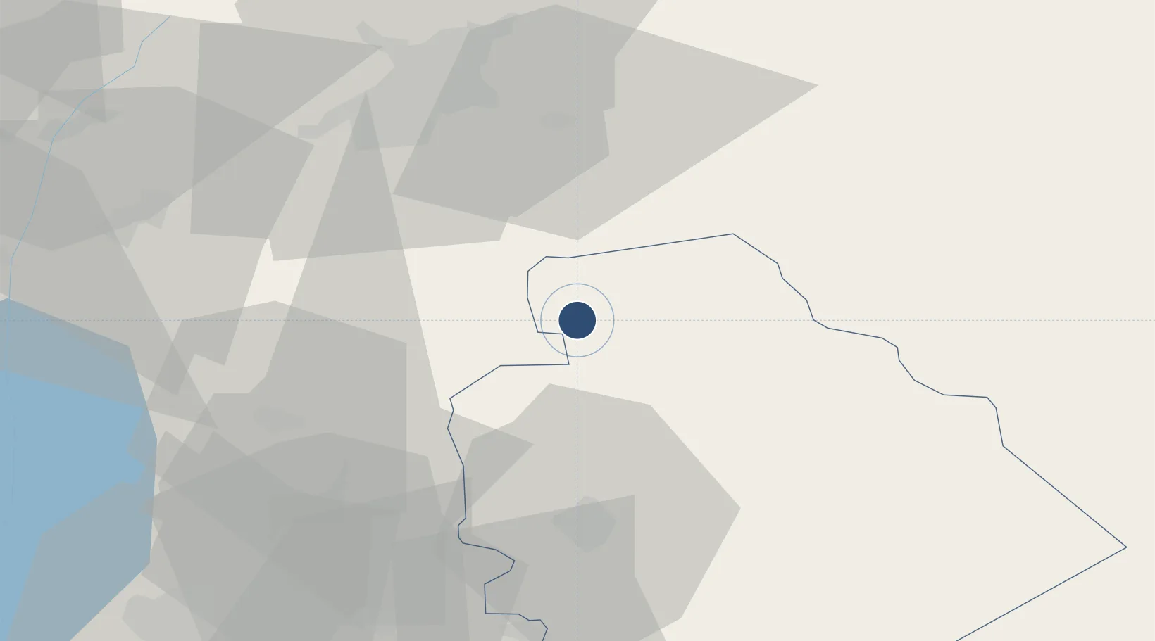
33.0773°, 36.5582°
9,995 ft
Longest runway
2
Runways
2,310 ft
Elevation
Runway & Layout

Runways · 2
| Runway | Dimensions | Surface | True heading | Lit |
|---|---|---|---|---|
| 07/25 | 9,995 × 148ft | Asphalt | 075° | — |
| 15/33 | 9,190 × 98ft | Asphalt | 150° | — |
Airport Specifications
Airport class
Medium airport
Scheduled service
No
Runway surface
Asphalt
Served city
Buraq
Location
Nearby Logistics Neighbours
Airports
- 1Damascus International Airport37 km
- 2Rosh Pina Airport93 km
- 3An Nasiriyah Air Base98 km
- 4Rayak Air Base101 km
- 5Beirut Rafic Hariri International Airport129 km
Cities
- 1Beit Shean Jordan Cargo Terminal65 km
- 2Beit Shean Jordan Meshakef67 km
- 3Hazor96 km
- 4Tiberias101 km
- 5Beit Zera102 km
Ports
- 1Sayda122 km
- 2Sidon/zahrani Terminal126 km
- 3Bayrut134 km
- 4Haifa148 km
- 5Selaata158 km
Trade Zones
- 1Damascus International Airport Free Zone37 km
- 2Damascus Free Zone55 km
- 3Adra Free Zone59 km
- 4Daraa Free Zone71 km
- 5Al-Hassan Industrial estate81 km
DatabookThe Record of Consolidated Knowledge
Syria beyond logistics?