UN/LOCODE hub · Israel
ILOVM

Qiryat Ata Milenium Terminal

32.8000°, 35.1000°
1
Transport functions

Transport Functions

Multimodal
UN/LOCODE

Hub Profile

Region
Z
GeoNames

Location

Location of ILOVM
Natural Earth 10m (public domain) · Z · ILOVM · 32.80, 35.10GoogleOSMYandex

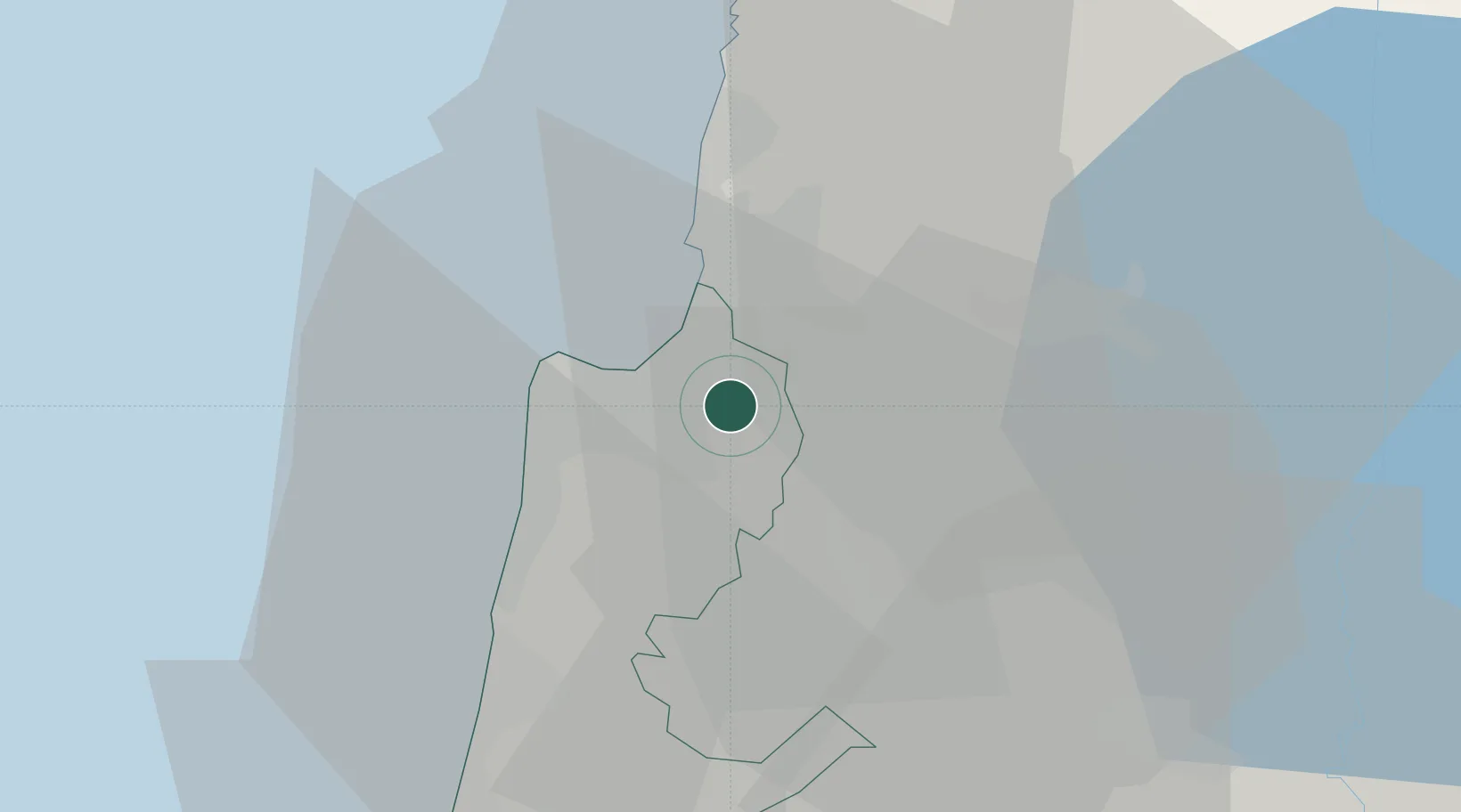
Nearby Logistics Neighbours

Cities
  1. 1Shefar'am6 km
  2. 2Haifa7 km
  3. 3Haifa Bayport11 km
  4. 4Haifa Granaries11 km
  5. 5Haifa Meshakef11 km
Nearest neighbours — logibook spatial index (haversine) over the source coordinates
Ports
  1. 1Haifa10 km
  2. 2Hadera42 km
  3. 3Sayda81 km
  4. 4Sidon/zahrani Terminal84 km
  5. 5Ashdod117 km
Nearest neighbours — logibook spatial index (haversine) over the source coordinates
Airports
  1. 1Uri Michaeli Haifa International Airport5 km
  2. 2Ramat David Air Base17 km
  3. 3Rosh Pina Airport48 km
  4. 4Ben Gurion International Airport90 km
  5. 5Tel Nof Air Base110 km
Nearest neighbours — logibook spatial index (haversine) over the source coordinates
Trade Zones
  1. 1Jenin Industrial Free Zone (JIFZ)42 km
  2. 2Ajloun Ajlun Development Zone80 km
  3. 3Irbid Development Area89 km
  4. 4Jarash Development Zone90 km
  5. 5Al-Hassan Industrial estate93 km
Nearest neighbours — logibook spatial index (haversine) over the source coordinates
DatabookThe Record of Consolidated Knowledge
Israel beyond logistics?
Browse databook

All Sources

LocationsUN/LOCODE
UN/LOCODE — free
Portsthe NGA World Port Index
Public domain (US gov)
AirportsOurAirports
Public domain
Trade Zonesthe World Bank SEZ database
CC BY 4.0
Trade ZonesOpen Zone Map
CC BY
← Israel locations