UN/LOCODE hub · Israel
ILBKN

Barkan Industrial Park

32.1000°, 35.1167°
1
Transport functions

Transport Functions

Multimodal
UN/LOCODE

Location

Location of ILBKN
Natural Earth 10m (public domain) · West Bank · ILBKN · 32.10, 35.12GoogleOSMYandex

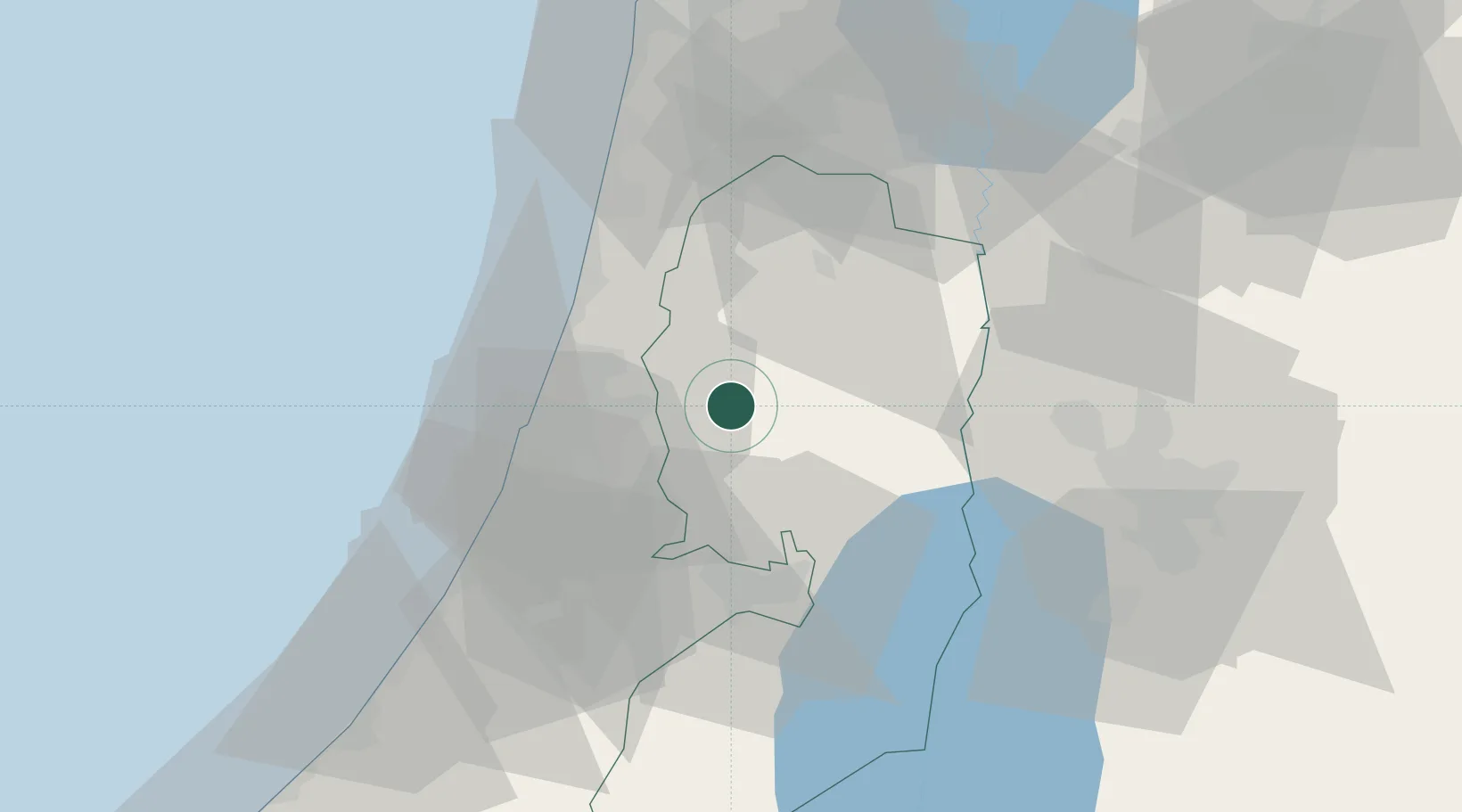
Nearby Logistics Neighbours

Cities
  1. 1Kokhav Yair-Tzur Yigal16 km
  2. 2Kibbutz Einat18 km
  3. 3Nabulus18 km
  4. 4Kafr Saba20 km
  5. 5Ofra21 km
Nearest neighbours — logibook spatial index (haversine) over the source coordinates
Ports
  1. 1Hadera46 km
  2. 2Ashdod54 km
  3. 3Ashqelon76 km
  4. 4Haifa80 km
  5. 5Sayda157 km
Nearest neighbours — logibook spatial index (haversine) over the source coordinates
Airports
  1. 1Ben Gurion International Airport24 km
  2. 2Tel Nof Air Base40 km
  3. 3Ramat David Air Base63 km
  4. 4Uri Michaeli Haifa International Airport79 km
  5. 5Marka International (Amman Civil) Airport84 km
Nearest neighbours — logibook spatial index (haversine) over the source coordinates
Trade Zones
  1. 1Jericho Argo- Industrial Park (JAIP)41 km
  2. 2Jenin Industrial Free Zone (JIFZ)43 km
  3. 3Bethlehem Industrial Estate -BIE45 km
  4. 4Al-Karama Free Zone45 km
  5. 5Al-Salt Development Zone51 km
Nearest neighbours — logibook spatial index (haversine) over the source coordinates
DatabookThe Record of Consolidated Knowledge
Israel beyond logistics?
Browse databook

All Sources

LocationsUN/LOCODE
UN/LOCODE — free
Portsthe NGA World Port Index
Public domain (US gov)
AirportsOurAirports
Public domain
Trade Zonesthe World Bank SEZ database
CC BY 4.0
Trade ZonesOpen Zone Map
CC BY
← Israel locations