UN/LOCODE hub · Israel
ILKOK

Kokhav Yair-Tzur Yigal

32.0000°, 35.0000°
1
Transport functions

Transport Functions

Multimodal
UN/LOCODE

Location

Location of ILKOK
Natural Earth 10m (public domain) · West Bank · ILKOK · 32.00, 35.00GoogleOSMYandex

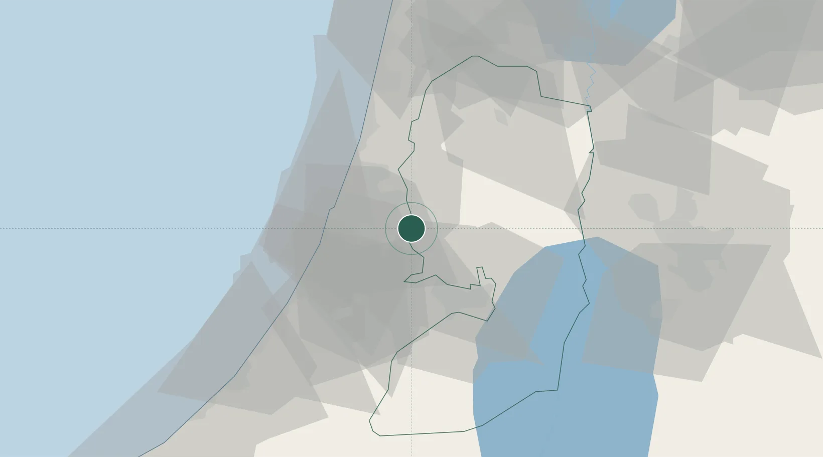
Nearby Logistics Neighbours

Cities
  1. 1Kibbutz Einat10 km
  2. 2Magshimim10 km
  3. 3Post Offoce Modi'In11 km
  4. 4Lod Overseas12 km
  5. 5Post Office Lod12 km
Nearest neighbours — logibook spatial index (haversine) over the source coordinates
Ports
  1. 1Ashdod39 km
  2. 2Hadera53 km
  3. 3Ashqelon60 km
  4. 4Haifa91 km
  5. 5Al Arish145 km
Nearest neighbours — logibook spatial index (haversine) over the source coordinates
Airports
  1. 1Ben Gurion International Airport11 km
  2. 2Tel Nof Air Base25 km
  3. 3Ramat David Air Base76 km
  4. 4Bar Yehuda Airfield83 km
  5. 5Nevatim Air Base88 km
Nearest neighbours — logibook spatial index (haversine) over the source coordinates
Trade Zones
  1. 1Bethlehem Industrial Estate -BIE38 km
  2. 2Jericho Argo- Industrial Park (JAIP)45 km
  3. 3Al-Karama Free Zone54 km
  4. 4Jenin Industrial Free Zone (JIFZ)58 km
  5. 5Al-Salt Development Zone62 km
Nearest neighbours — logibook spatial index (haversine) over the source coordinates
DatabookThe Record of Consolidated Knowledge
Israel beyond logistics?
Browse databook

All Sources

LocationsUN/LOCODE
UN/LOCODE — free
Portsthe NGA World Port Index
Public domain (US gov)
AirportsOurAirports
Public domain
Trade Zonesthe World Bank SEZ database
CC BY 4.0
Trade ZonesOpen Zone Map
CC BY
← Israel locations