Export Processing Zone · Palestinian Territories

Bethlehem Industrial Estate -BIE Active
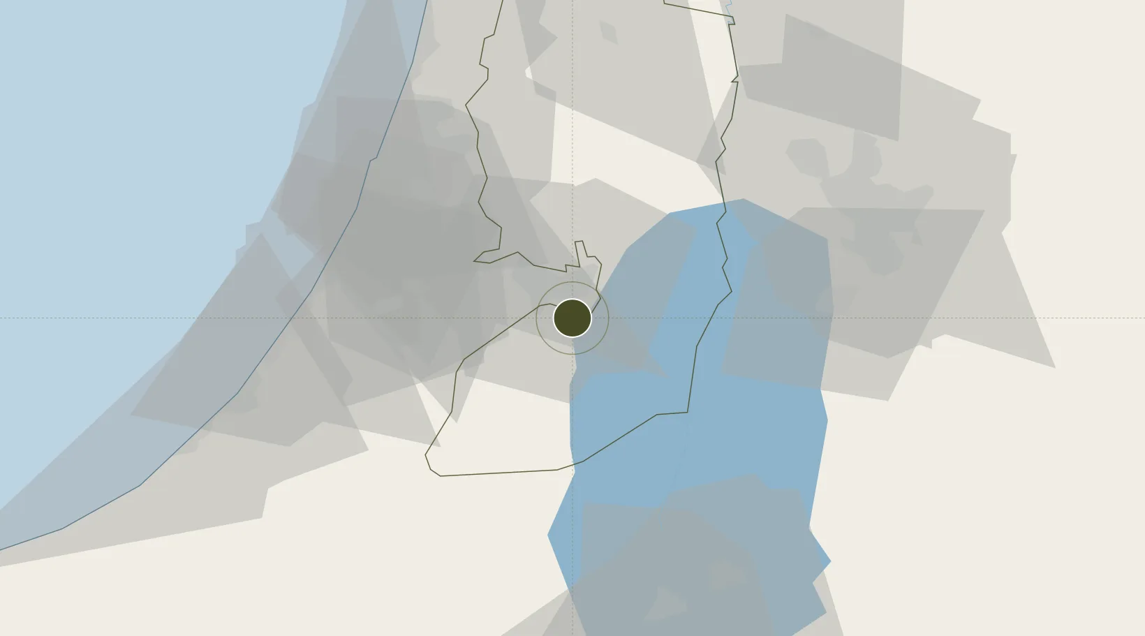
31.7048°, 35.1994°
20 ha
Zone area
53.4 km
Nearest port
38.7 km
Nearest airport

Gateway access

Nearest neighbours — logibook spatial index (haversine) over the source coordinates

Zone profile

Zone type
Export Processing Zone
Open Zone Map
Region
West Bank
Open Zone Map
Status
Active
Open Zone Map
Management
Public-Private Partnership
Open Zone Map
Operator
BMIP, AFD,PIEFZA and PWA.
Open Zone Map
Legal framework
Law No. 10 of 1998 on Industrial Estates and Industrial Free Zones
Open Zone Map

Location

Location of ozm-3055
Natural Earth 10m (public domain) · West Bank · ozm-3055 · 31.70, 35.20GoogleOSMYandex

Nearby Logistics Neighbours

Ports
  1. 1Ashdod53 km
  2. 2Ashqelon66 km
  3. 3Hadera89 km
  4. 4Haifa125 km
  5. 5Al Arish144 km
Nearest neighbours — logibook spatial index (haversine) over the source coordinates
Airports
  1. 1Tel Nof Air Base39 km
  2. 2Ben Gurion International Airport45 km
  3. 3Bar Yehuda Airfield46 km
  4. 4Nevatim Air Base58 km
  5. 5Queen Alia International Airport75 km
Nearest neighbours — logibook spatial index (haversine) over the source coordinates
Cities
  1. 1Beit Jala2 km
  2. 2Mishor Adumim14 km
  3. 3Ayalon Valley22 km
  4. 4Ofra28 km
  5. 5Post Offoce Modi'In29 km
Nearest neighbours — logibook spatial index (haversine) over the source coordinates
Trade Zones
  1. 1Jericho Argo- Industrial Park (JAIP)29 km
  2. 2Al-Karama Free Zone45 km
  3. 3Dead Sea Development Zone53 km
  4. 4Madaba Development Zone53 km
  5. 5Al-Salt Development Zone56 km
Nearest neighbours — logibook spatial index (haversine) over the source coordinates
DatabookThe Record of Consolidated Knowledge
Palestinian Territories beyond logistics?
Browse databook

All Sources

Trade ZonesOpen Zone Map
CC BY
Portsthe NGA World Port Index
Public domain (US gov)
AirportsOurAirports
Public domain
LocationsUN/LOCODE
UN/LOCODE — free
← Palestinian Territories trade zones