Export Processing Zone · Palestinian Territories

Jericho Argo- Industrial Park (JAIP) Active
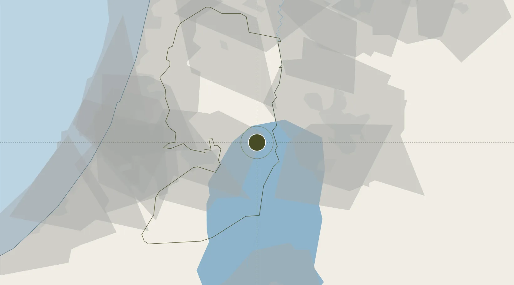
31.8595°, 35.4470°
61 ha
Zone area
75.4 km
Nearest port
52.9 km
Nearest airport

Gateway access

Nearest neighbours — logibook spatial index (haversine) over the source coordinates

Zone profile

Zone type
Export Processing Zone
Open Zone Map
Region
West Bank
Open Zone Map
Status
Active
Open Zone Map
Management
Public-Private Partnership
Open Zone Map
Operator
PIEFZA and Japan International Cooperation Agency (JICA)
Open Zone Map
Legal framework
Law No. 10 of 1998 on Industrial Estates and Industrial Free Zones
Open Zone Map

Location

Location of ozm-3057
Natural Earth 10m (public domain) · West Bank · ozm-3057 · 31.86, 35.45GoogleOSMYandex

Nearby Logistics Neighbours

Ports
  1. 1Ashdod75 km
  2. 2Hadera85 km
  3. 3Ashqelon92 km
  4. 4Haifa114 km
  5. 5Al Arish172 km
Nearest neighbours — logibook spatial index (haversine) over the source coordinates
Airports
  1. 1Marka International (Amman Civil) Airport53 km
  2. 2Queen Alia International Airport54 km
  3. 3Ben Gurion International Airport56 km
  4. 4Tel Nof Air Base59 km
  5. 5Bar Yehuda Airfield59 km
Nearest neighbours — logibook spatial index (haversine) over the source coordinates
Cities
  1. 1Mishor Adumim15 km
  2. 2Ofra21 km
  3. 3Yeruham26 km
  4. 4Beit Jala31 km
  5. 5Ayalon Valley41 km
Nearest neighbours — logibook spatial index (haversine) over the source coordinates
Trade Zones
  1. 1Al-Karama Free Zone16 km
  2. 2Al-Salt Development Zone28 km
  3. 3Bethlehem Industrial Estate -BIE29 km
  4. 4Dead Sea Development Zone34 km
  5. 5Madaba Development Zone34 km
Nearest neighbours — logibook spatial index (haversine) over the source coordinates
DatabookThe Record of Consolidated Knowledge
Palestinian Territories beyond logistics?
Browse databook

All Sources

Trade ZonesOpen Zone Map
CC BY
Portsthe NGA World Port Index
Public domain (US gov)
AirportsOurAirports
Public domain
LocationsUN/LOCODE
UN/LOCODE — free
← Palestinian Territories trade zones