UN/LOCODE hub · Israel
ILKFS

Kafr Saba

32.1500°, 34.9167°
2
Transport functions

Transport Functions

Rail
Road
UN/LOCODE

Hub Profile

Region
M
GeoNames

Location

Location of ILKFS
Natural Earth 10m (public domain) · M · ILKFS · 32.15, 34.92GoogleOSMYandex

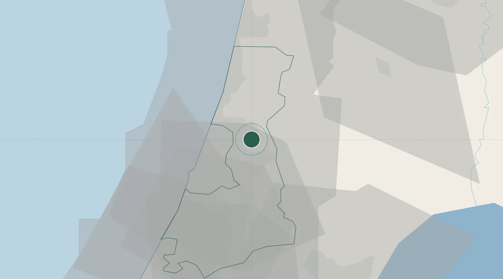
Nearby Logistics Neighbours

Cities
  1. 1Kibbutz Einat9 km
  2. 2Magshimim13 km
  3. 3Kfar Netter14 km
  4. 4Savyon14 km
  5. 5Qadima15 km
Nearest neighbours — logibook spatial index (haversine) over the source coordinates
Ports
  1. 1Hadera35 km
  2. 2Ashdod45 km
  3. 3Ashqelon67 km
  4. 4Haifa75 km
  5. 5Al Arish151 km
Nearest neighbours — logibook spatial index (haversine) over the source coordinates
Airports
  1. 1Ben Gurion International Airport16 km
  2. 2Tel Nof Air Base36 km
  3. 3Ramat David Air Base62 km
  4. 4Uri Michaeli Haifa International Airport74 km
  5. 5Bar Yehuda Airfield102 km
Nearest neighbours — logibook spatial index (haversine) over the source coordinates
Trade Zones
  1. 1Jenin Industrial Free Zone (JIFZ)49 km
  2. 2Bethlehem Industrial Estate -BIE56 km
  3. 3Jericho Argo- Industrial Park (JAIP)60 km
  4. 4Al-Karama Free Zone65 km
  5. 5Al-Salt Development Zone71 km
Nearest neighbours — logibook spatial index (haversine) over the source coordinates
DatabookThe Record of Consolidated Knowledge
Israel beyond logistics?
Browse databook

All Sources

LocationsUN/LOCODE
UN/LOCODE — free
Portsthe NGA World Port Index
Public domain (US gov)
AirportsOurAirports
Public domain
Trade Zonesthe World Bank SEZ database
CC BY 4.0
Trade ZonesOpen Zone Map
CC BY
← Israel locations