Transport Functions
Multimodal
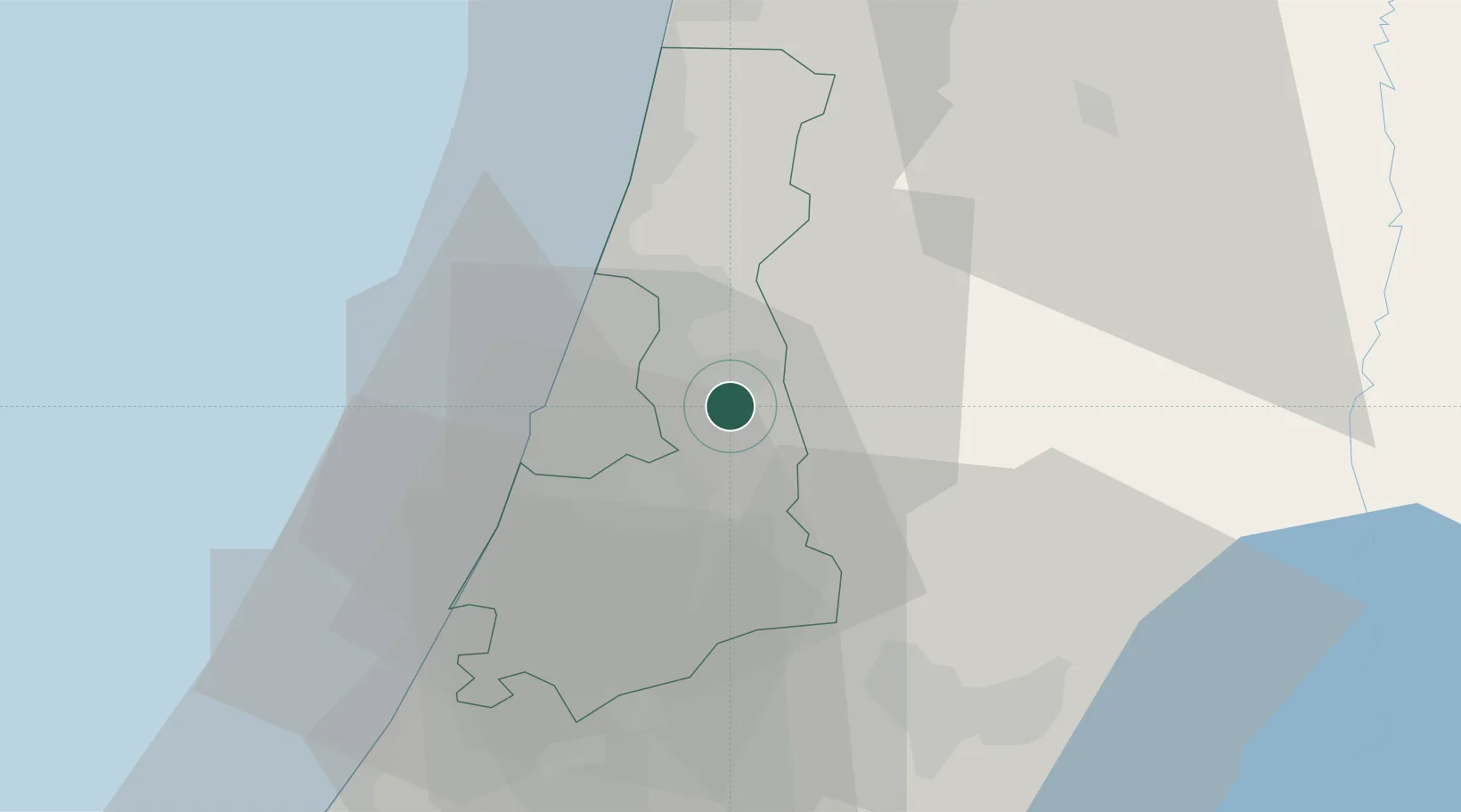
Location
Nearby Logistics Neighbours
Cities
- 1Magshimim5 km
- 2Savyon7 km
- 3Kafr Saba9 km
- 4Kokhav Yair-Tzur Yigal10 km
- 5Bet Dagan13 km
Airports
Trade Zones
DatabookThe Record of Consolidated Knowledge
Israel beyond logistics?