UN/LOCODE hub · Israel
ILOFR

Ofra

31.9500°, 35.2500°
2
Transport functions

Transport Functions

Port
Multimodal
UN/LOCODE

Location

Location of ILOFR
Natural Earth 10m (public domain) · West Bank · ILOFR · 31.95, 35.25GoogleOSMYandex

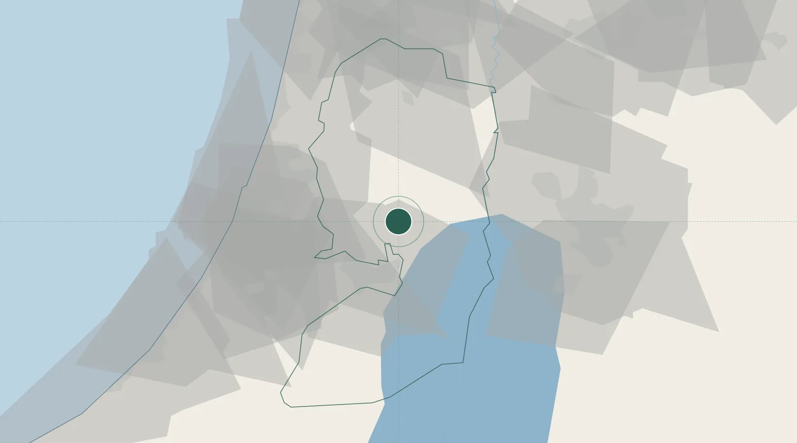
Nearby Logistics Neighbours

Cities
  1. 1Mishor Adumim20 km
  2. 2Barkan Industrial Park21 km
  3. 3Kokhav Yair-Tzur Yigal24 km
  4. 4Post Offoce Modi'In24 km
  5. 5Ayalon Valley26 km
Nearest neighbours — logibook spatial index (haversine) over the source coordinates
Ports
  1. 1Ashdod59 km
  2. 2Hadera66 km
  3. 3Ashqelon78 km
  4. 4Haifa99 km
  5. 5Al Arish161 km
Nearest neighbours — logibook spatial index (haversine) over the source coordinates
Airports
  1. 1Ben Gurion International Airport35 km
  2. 2Tel Nof Air Base42 km
  3. 3Marka International (Amman Civil) Airport70 km
  4. 4Bar Yehuda Airfield70 km
  5. 5Queen Alia International Airport75 km
Nearest neighbours — logibook spatial index (haversine) over the source coordinates
Trade Zones
  1. 1Jericho Argo- Industrial Park (JAIP)21 km
  2. 2Bethlehem Industrial Estate -BIE28 km
  3. 3Al-Karama Free Zone30 km
  4. 4Al-Salt Development Zone39 km
  5. 5King Hussein Business Park55 km
Nearest neighbours — logibook spatial index (haversine) over the source coordinates
DatabookThe Record of Consolidated Knowledge
Israel beyond logistics?
Browse databook

All Sources

LocationsUN/LOCODE
UN/LOCODE — free
Portsthe NGA World Port Index
Public domain (US gov)
AirportsOurAirports
Public domain
Trade Zonesthe World Bank SEZ database
CC BY 4.0
Trade ZonesOpen Zone Map
CC BY
← Israel locations