Transport Functions
Port
Road
Hub Profile
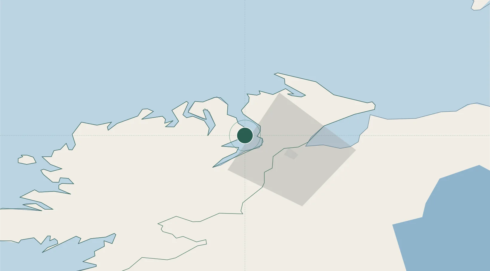
Place type
Populated place
Region
Ulster
Population
493
Time zone
Europe/Dublin
Elevation
6 m
Location
Nearby Logistics Neighbours
Cities
- 1Ramelton10 km
- 2Burnfoot10 km
- 3Maydown20 km
- 4Dunfanaghy29 km
- 5Castlederg30 km
Ports
- 1Londonderry18 km
- 2Coleraine55 km
- 3Killybegs78 km
- 4Port Ellen103 km
- 5Sligo110 km
Airports
- 1City of Derry Airport25 km
- 2Donegal Airport52 km
- 3Enniskillen/St Angelo Airport78 km
- 4Belfast International Airport98 km
- 5Islay Airport103 km
Trade Zones
DatabookThe Record of Consolidated Knowledge
Ireland beyond logistics?