Channel & Berth Profile
Pilotage, Tugs & Services
Pilotage compulsoryNO
Pilotage availableYES
Pilotage advisableYES
Local assistanceYES
Tug assistanceNO
Salvage tugsNO
Potable waterYES
MedicalYES
Garbage disposalYES
Facilities & Capabilities
Container—
Ro-Ro—
Liquid bulk—
Dry bulk—
Oil terminal—
Break bulk—
Dry dock—
Repairs—
Bunkering—
Rail link—
Dangerous cargo—
ISPS security—
Harbour Specifications
Harbour size
Very Small
Harbour type
Open Roadstead
Shelter
Poor
Water body
North Atlantic Ocean
Tidal range
1 m
Pilotage
No
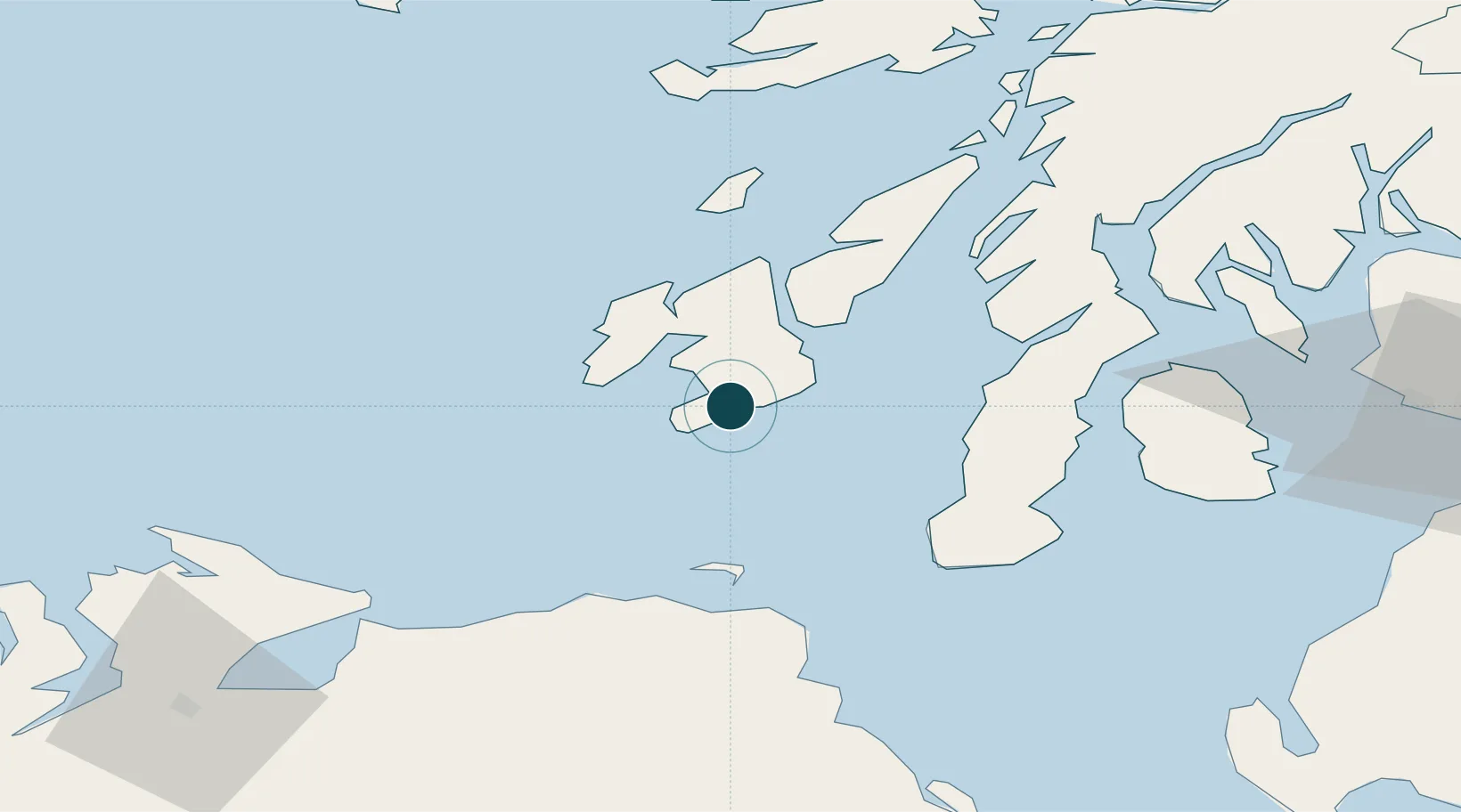
Location
Nearby Logistics Neighbours
Ports
- 1Campbeltown44 km
- 2Coleraine63 km
- 3Ardrishaig63 km
- 4Crinan (Canal)64 km
- 5Lamlash Harbor69 km
Cities
- 1Ardbeg6 km
- 2Bruichladdich18 km
- 3Islay19 km
- 4Portnahaven19 km
- 5Port Askaig25 km
Airports
- 1Islay Airport7 km
- 2Campbeltown Airport39 km
- 3Colonsay Airstrip47 km
- 4City of Derry Airport90 km
- 5Glasgow Prestwick Airport103 km
Trade Zones
DatabookThe Record of Consolidated Knowledge
United Kingdom beyond logistics?