Channel & Berth Profile
Pilotage, Tugs & Services
Pilotage compulsoryYES
Pilotage availableYES
Tug assistanceYES
Salvage tugsNO
Shore powerYES
Potable waterYES
Diesel bunkersYES
MedicalNO
Garbage disposalYES
Facilities & Capabilities
Container—
Ro-Ro—
Liquid bulk—
Dry bulk—
Oil terminal—
Break bulk—
Dry dock—
RepairsNO
BunkeringYES
Rail link—
Dangerous cargo—
ISPS security—
Harbour Specifications
Harbour size
Very Small
Harbour type
Coastal (Natural)
Shelter
Excellent
Water body
North Atlantic Ocean
Tidal range
3 m
Pilotage
Yes
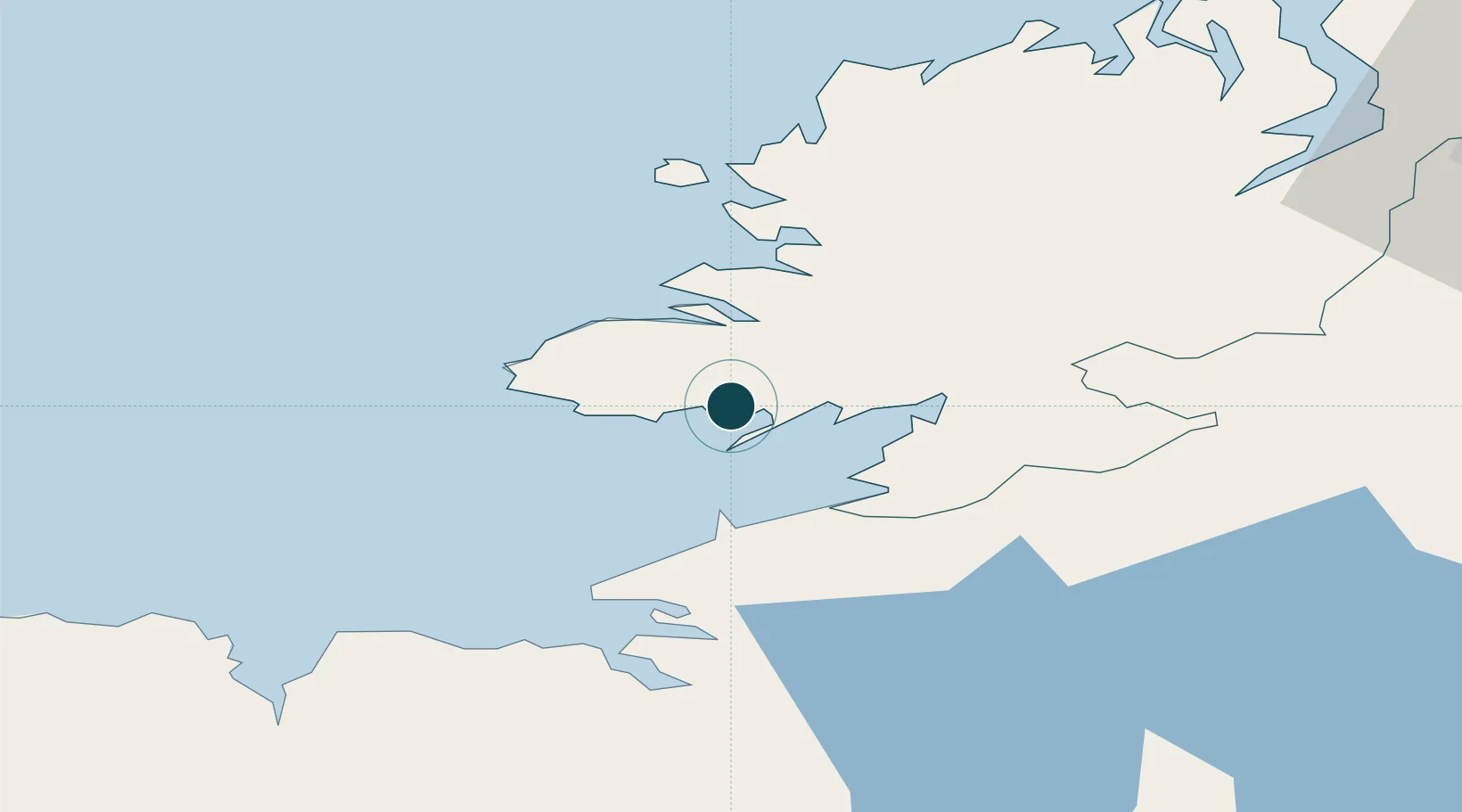
Location
Nearby Logistics Neighbours
Ports
- 1Sligo41 km
- 2Rathmullan78 km
- 3Londonderry83 km
- 4Westport116 km
- 5Coleraine127 km
Cities
- 1Carrick23 km
- 2Burtonport39 km
- 3Manorhamilton41 km
- 4Easkey/Rathlee51 km
- 5Gortahork57 km
Airports
- 1Sligo Airport40 km
- 2Donegal Airport46 km
- 3Enniskillen/St Angelo Airport58 km
- 4Ireland West Airport Knock84 km
- 5City of Derry Airport94 km
Trade Zones
DatabookThe Record of Consolidated Knowledge
Ireland beyond logistics?