Channel & Berth Profile
Pilotage, Tugs & Services
Pilotage compulsoryYES
Pilotage availableYES
Potable waterYES
Diesel bunkersYES
MedicalYES
Garbage disposalYES
Facilities & Capabilities
Container—
Ro-Ro—
Liquid bulk—
Dry bulk—
Oil terminal—
Break bulk—
Dry dock—
RepairsNO
BunkeringYES
Rail linkYES
Dangerous cargo—
ISPS security—
Harbour Specifications
Harbour size
Small
Harbour type
River (Natural)
Shelter
Excellent
Water body
North Atlantic Ocean
Tidal range
2 m
Overhead limit
Yes
Pilotage
Yes
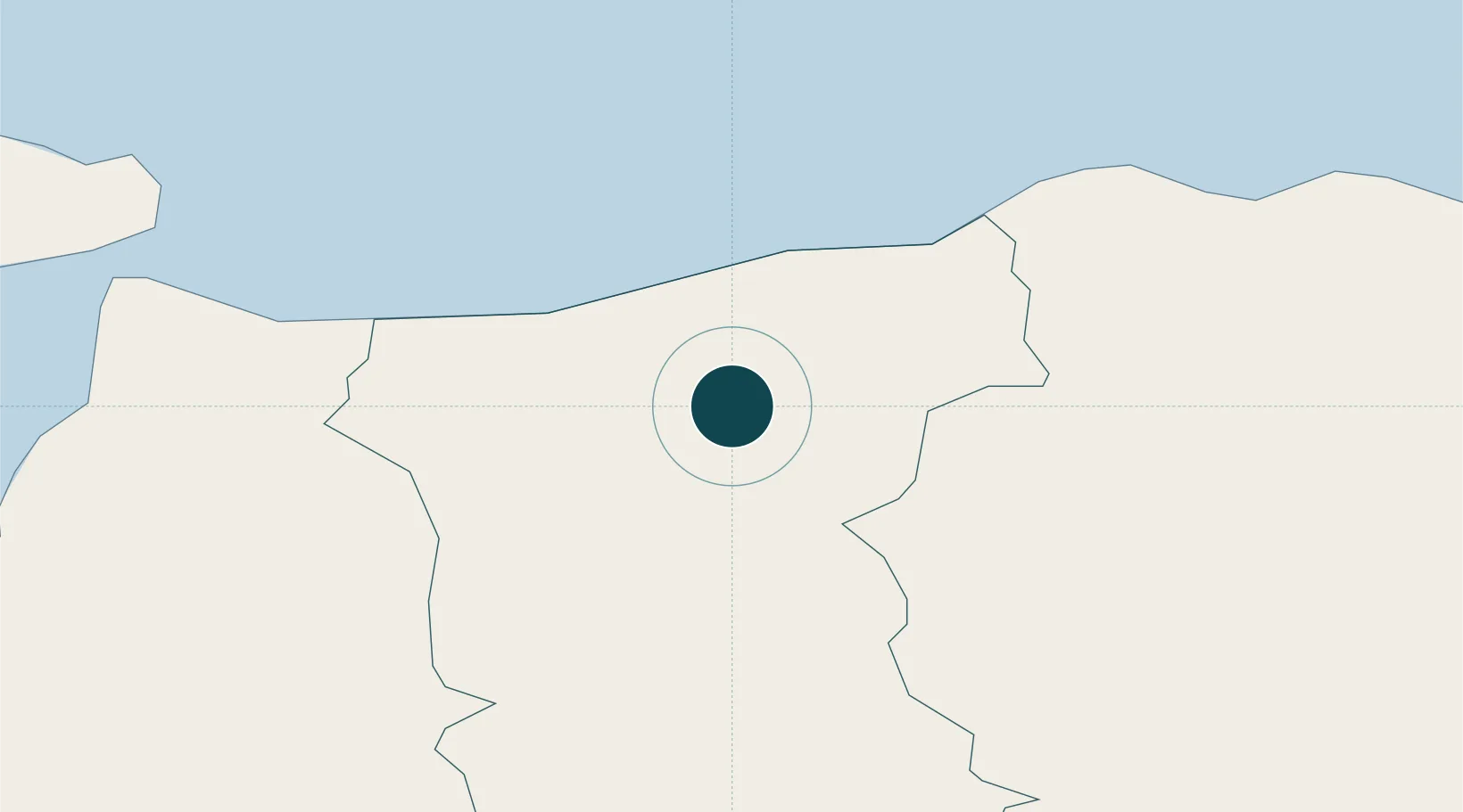
Location
Nearby Logistics Neighbours
Ports
- 1Londonderry44 km
- 2Rathmullan55 km
- 3Port Ellen63 km
- 4Larne64 km
- 5Kilroot75 km
Cities
- 1Portstewart6 km
- 2Portballintrae13 km
- 3Garvagh17 km
- 4Dunseverick18 km
- 5Magilligan Point Ferry Terminal, Lough Foyle20 km
Airports
- 1City of Derry Airport33 km
- 2Belfast International Airport60 km
- 3Islay Airport66 km
- 4Campbeltown Airport71 km
- 5George Best Belfast City Airport77 km
Trade Zones
DatabookThe Record of Consolidated Knowledge
United Kingdom beyond logistics?