Transport Functions
Port
Road
Hub Profile
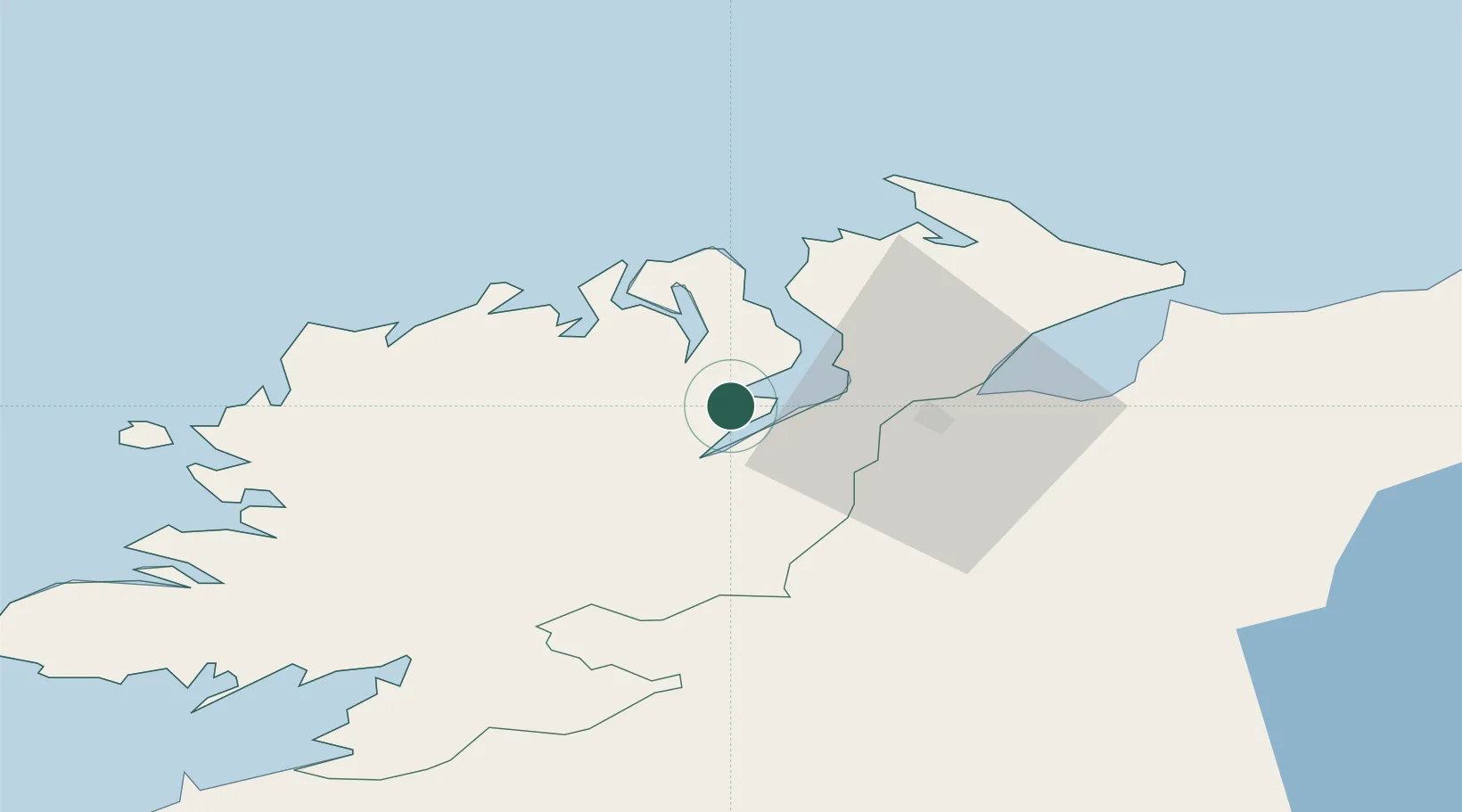
Place type
Populated place
Region
Ulster
Population
1,266
Time zone
Europe/Dublin
Elevation
11 m
Location
Nearby Logistics Neighbours
Cities
- 1Rathmullan10 km
- 2Burnfoot15 km
- 3Maydown25 km
- 4Fintona25 km
- 5Castlefinn26 km
Ports
- 1Rathmullan10 km
- 2Londonderry21 km
- 3Coleraine63 km
- 4Killybegs69 km
- 5Sligo101 km
Airports
- 1City of Derry Airport30 km
- 2Donegal Airport45 km
- 3Enniskillen/St Angelo Airport71 km
- 4Belfast International Airport100 km
- 5Sligo Airport104 km
Trade Zones
DatabookThe Record of Consolidated Knowledge
Ireland beyond logistics?