UN/LOCODE hub · United Kingdom
GBZST
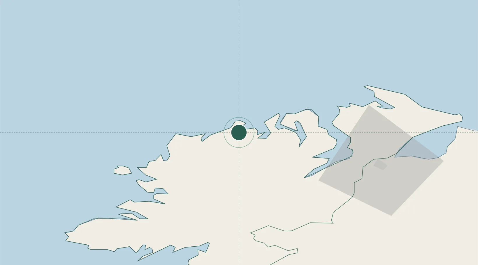
Castlederg
55.1667°, -7.9833°
2,822
Population
1
Transport functions
Transport Functions
Multimodal
Hub Profile
Place type
Populated place
Region
Northern Ireland
Population
2,822
Time zone
Europe/London
Elevation
47 m
Location
Nearby Logistics Neighbours
Cities
- 1Dunfanaghy2 km
- 2Gortahork11 km
- 3Magheraroarty12 km
- 4Ramelton27 km
- 5Rathmullan30 km
Ports
- 1Rathmullan30 km
- 2Londonderry46 km
- 3Killybegs66 km
- 4Coleraine84 km
- 5Sligo105 km
Airports
- 1Donegal Airport27 km
- 2City of Derry Airport54 km
- 3Enniskillen/St Angelo Airport88 km
- 4Sligo Airport106 km
- 5Islay Airport123 km
Trade Zones
DatabookThe Record of Consolidated Knowledge
United Kingdom beyond logistics?