Transport Functions
Port
Road
Hub Profile
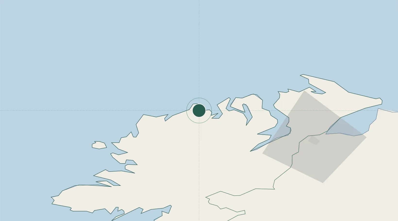
Place type
Populated place
Region
Ulster
Population
298
Time zone
Europe/Dublin
Elevation
6 m
Location
Nearby Logistics Neighbours
Cities
- 1Castlederg2 km
- 2Gortahork13 km
- 3Magheraroarty14 km
- 4Ramelton27 km
- 5Rathmullan29 km
Ports
- 1Rathmullan29 km
- 2Londonderry46 km
- 3Killybegs69 km
- 4Coleraine83 km
- 5Sligo107 km
Airports
- 1Donegal Airport28 km
- 2City of Derry Airport54 km
- 3Enniskillen/St Angelo Airport90 km
- 4Sligo Airport108 km
- 5Islay Airport121 km
Trade Zones
DatabookThe Record of Consolidated Knowledge
Ireland beyond logistics?