Channel & Berth Profile
Pilotage, Tugs & Services
Pilotage compulsoryYES
Pilotage availableYES
Tug assistanceYES
Salvage tugsNO
Potable waterYES
Diesel bunkersYES
MedicalYES
Garbage disposalYES
Facilities & Capabilities
Container—
Ro-Ro—
Liquid bulk—
Dry bulk—
Oil terminal—
Break bulk—
Dry dock—
RepairsNO
BunkeringYES
Rail linkYES
Dangerous cargo—
ISPS security—
Harbour Specifications
Harbour size
Very Small
Harbour type
River (Basins)
Shelter
Excellent
Water body
North Atlantic Ocean
Tidal range
2 m
Overhead limit
No
Pilotage
Yes
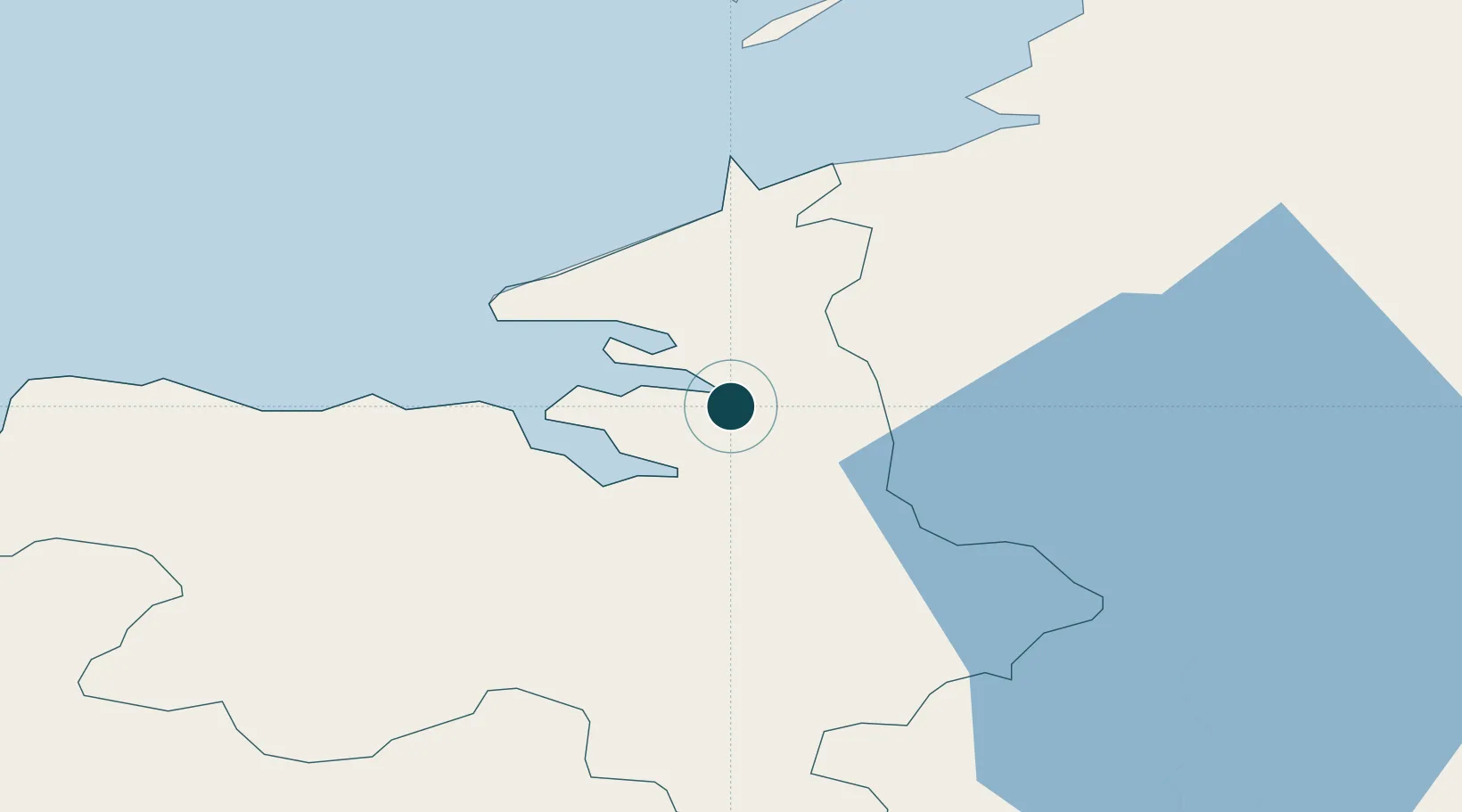
Location
Nearby Logistics Neighbours
Ports
- 1Killybegs41 km
- 2Westport87 km
- 3Londonderry110 km
- 4Rathmullan110 km
- 5Galway118 km
Cities
- 1Manorhamilton20 km
- 2Easkey/Rathlee33 km
- 3Carrick44 km
- 4Ballina49 km
- 5Newtownbutler56 km
Airports
- 1Sligo Airport9 km
- 2Ireland West Airport Knock46 km
- 3Enniskillen/St Angelo Airport55 km
- 4Donegal Airport87 km
- 5City of Derry Airport120 km
Trade Zones
DatabookThe Record of Consolidated Knowledge
Ireland beyond logistics?