Large airport · United Kingdom

Belfast International AirportEGAA
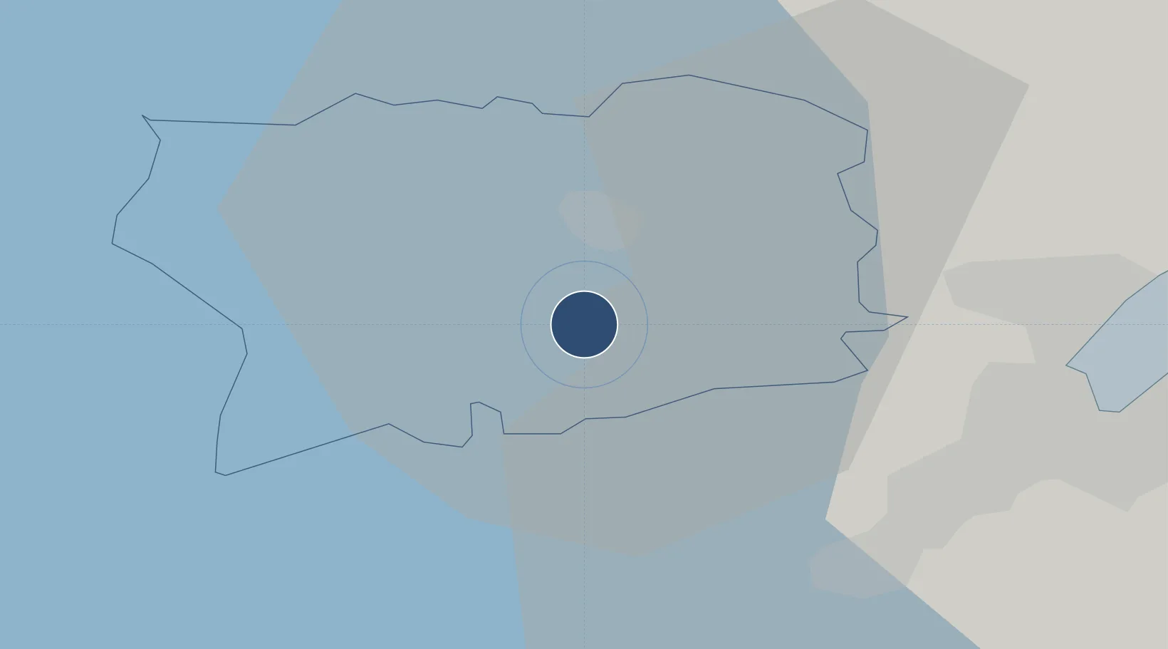
54.6575°, -6.2158°
9,121 ft
Longest runway
2
Runways
268 ft
Elevation

Runway & Layout

Belfast International Airport runway & taxiway layout
Runway & taxiway layout — OpenStreetMap (ODbL) / OurAirports

Radio Frequencies

ATIS
128.2 MHz
TWR
118.3 MHz
GND
121.75 MHz
APP
128.5 MHz
ILS 17
110.9 MHz
ILS 25
109.9 MHz
OPS
26.48 MHz
RDR
120.9 MHz
DIRECTOR
OurAirports

Navaids

BEL VOR-DME Belfast 117.20 MHz
OY NDB Aldergrove 332 kHz
OurAirports

Runways · 2

RunwayDimensions SurfaceTrue headingLit
07/25 9,121 × 148ft Asphalt 065°
17/35 6,204 × 148ft Asphalt 162°
OurAirports

Airport Specifications

IATA code
BFS
OurAirports
ICAO code
EGAA
OurAirports
Airport class
Large airport
OurAirports
Scheduled service
Yes
OurAirports
Runway surface
Asphalt
OurAirports
Served city
Belfast
OurAirports

Location

Location of EGAA
Natural Earth 10m (public domain) · Antrim · EGAA · 54.66, -6.22GoogleOSMYandex

Nearby Logistics Neighbours

Airports
  1. 1George Best Belfast City Airport23 km
  2. 2City of Derry Airport74 km
  3. 3Campbeltown Airport93 km
  4. 4Enniskillen/St Angelo Airport97 km
  5. 5Islay Airport114 km
Nearest neighbours — logibook spatial index (haversine) over the source coordinates
Cities
  1. 1Glenavy8 km
  2. 2Dunmurry18 km
  3. 3Newtonabbey18 km
  4. 4Belfast21 km
  5. 5Newtownabbey23 km
Nearest neighbours — logibook spatial index (haversine) over the source coordinates
Ports
  1. 1Belfast21 km
  2. 2Kilroot33 km
  3. 3Larne34 km
  4. 4Bangor35 km
  5. 5Ardglass58 km
Nearest neighbours — logibook spatial index (haversine) over the source coordinates
Trade Zones
  1. 1Isle of Man Free Zone and Business Park121 km
  2. 2Prestwick Airport Free Zone139 km
  3. 3Dublin International Financial Services Centre146 km
  4. 4Carlisle Kingmoor Park Enterprise Zone211 km
  5. 5Blackpool Enterprise Zone229 km
Nearest neighbours — logibook spatial index (haversine) over the source coordinates
DatabookThe Record of Consolidated Knowledge
United Kingdom beyond logistics?
Browse databook

All Sources

AirportsOurAirports
Public domain
Portsthe NGA World Port Index
Public domain (US gov)
LocationsUN/LOCODE
UN/LOCODE — free
Trade Zonesthe World Bank SEZ database
CC BY 4.0
Trade ZonesOpen Zone Map
CC BY
InfrastructureOpenStreetMap
ODbL 1.0
← United Kingdom airports