Medium airport · United Kingdom

Enniskillen/St Angelo AirportEGAB
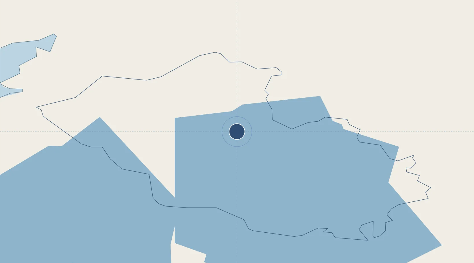
54.3983°, -7.6512°
3,996 ft
Longest runway
1
Runways
155 ft
Elevation

Runway & Layout

Enniskillen/St Angelo Airport runway & taxiway layout
Runway & taxiway layout — OpenStreetMap (ODbL) / OurAirports

Radio Frequencies

A/G
123.205 MHz
RDO
OurAirports

Navaids

EKN NDB Enniskillen 358 kHz
OurAirports

Runways · 1

RunwayDimensions SurfaceTrue headingLit
14/32 3,996 × 98ft Asphalt 140°
OurAirports

Airport Specifications

IATA code
ENK
OurAirports
ICAO code
EGAB
OurAirports
Airport class
Medium airport
OurAirports
Scheduled service
No
OurAirports
Runway surface
Asphalt
OurAirports
Served city
Enniskillen, Fermanagh and Omagh
OurAirports

Location

Location of EGAB
Natural Earth 10m (public domain) · Fermanagh · EGAB · 54.40, -7.65GoogleOSMYandex

Nearby Logistics Neighbours

Airports
  1. 1Sligo Airport63 km
  2. 2City of Derry Airport78 km
  3. 3Donegal Airport84 km
  4. 4Ireland West Airport Knock93 km
  5. 5Belfast International Airport97 km
Nearest neighbours — logibook spatial index (haversine) over the source coordinates
Cities
  1. 1Newtownbutler11 km
  2. 2Fintona24 km
  3. 3Clogher29 km
  4. 4Ballyconnell32 km
  5. 5Augher33 km
Nearest neighbours — logibook spatial index (haversine) over the source coordinates
Ports
  1. 1Sligo55 km
  2. 2Killybegs58 km
  3. 3Londonderry70 km
  4. 4Rathmullan78 km
  5. 5Warren Point97 km
Nearest neighbours — logibook spatial index (haversine) over the source coordinates
Trade Zones
  1. 1Dublin International Financial Services Centre149 km
  2. 2Isle of Man Free Zone and Business Park200 km
  3. 3Shannon Free Zone206 km
  4. 4Prestwick Airport Free Zone230 km
  5. 5Carlisle Kingmoor Park Enterprise Zone307 km
Nearest neighbours — logibook spatial index (haversine) over the source coordinates
DatabookThe Record of Consolidated Knowledge
United Kingdom beyond logistics?
Browse databook

All Sources

AirportsOurAirports
Public domain
Portsthe NGA World Port Index
Public domain (US gov)
LocationsUN/LOCODE
UN/LOCODE — free
Trade Zonesthe World Bank SEZ database
CC BY 4.0
Trade ZonesOpen Zone Map
CC BY
InfrastructureOpenStreetMap
ODbL 1.0
← United Kingdom airports