Medium airport · Ireland
Donegal AirportEIDL
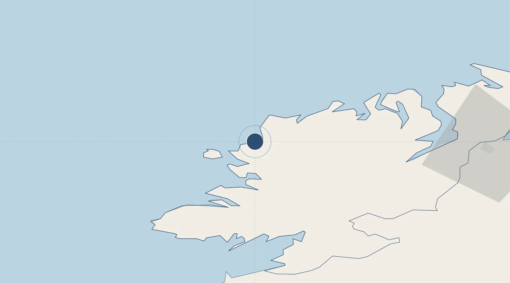
55.0442°, -8.3410°
4,908 ft
Longest runway
1
Runways
30 ft
Elevation
Runway & Layout

Radio Frequencies
ATIS
129.925 MHz
TWR
129.8 MHz
GND
129.8 MHz
Navaids
CFN NDB Donegal 361 kHz
Runways · 1
| Runway | Dimensions | Surface | True heading | Lit |
|---|---|---|---|---|
| 02/20 | 4,908 × 98ft | Bitumen | 020° | ✓ |
Airport Specifications
IATA code
CFN
ICAO code
EIDL
Airport class
Medium airport
Scheduled service
Yes
Runway surface
Bitumen
Served city
Donegal
Location
Nearby Logistics Neighbours
Airports
- 1City of Derry Airport75 km
- 2Enniskillen/St Angelo Airport84 km
- 3Sligo Airport87 km
- 4Ireland West Airport Knock130 km
- 5Belfast International Airport143 km
Cities
- 1Burtonport9 km
- 2Magheraroarty15 km
- 3Gortahork16 km
- 4Castlederg27 km
- 5Dunfanaghy28 km
Ports
- 1Killybegs46 km
- 2Rathmullan52 km
- 3Londonderry66 km
- 4Sligo87 km
- 5Coleraine107 km
Trade Zones
DatabookThe Record of Consolidated Knowledge
Ireland beyond logistics?