UN/LOCODE hub · United Kingdom
GBMYN

Maydown

55.0167°, -7.2500°
2
Transport functions

Transport Functions

Port
Road
UN/LOCODE

Hub Profile

Region
DRY
GeoNames

Location

Location of GBMYN
Natural Earth 10m (public domain) · DRY · GBMYN · 55.02, -7.25GoogleOSMYandex

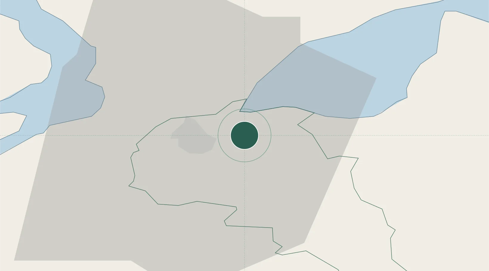
Nearby Logistics Neighbours

Cities
  1. 1Burnfoot10 km
  2. 2Rathmullan20 km
  3. 3Moville23 km
  4. 4Ramelton25 km
  5. 5Magilligan Point Ferry Terminal, Lough Foyle26 km
Nearest neighbours — logibook spatial index (haversine) over the source coordinates
Ports
  1. 1Londonderry5 km
  2. 2Rathmullan20 km
  3. 3Coleraine39 km
  4. 4Killybegs88 km
  5. 5Larne95 km
Nearest neighbours — logibook spatial index (haversine) over the source coordinates
Airports
  1. 1City of Derry Airport6 km
  2. 2Donegal Airport70 km
  3. 3Enniskillen/St Angelo Airport73 km
  4. 4Belfast International Airport77 km
  5. 5Islay Airport97 km
Nearest neighbours — logibook spatial index (haversine) over the source coordinates
Trade Zones
  1. 1Prestwick Airport Free Zone176 km
  2. 2Dublin International Financial Services Centre197 km
  3. 3Isle of Man Free Zone and Business Park198 km
  4. 4Carlisle Kingmoor Park Enterprise Zone274 km
  5. 5Shannon Free Zone279 km
Nearest neighbours — logibook spatial index (haversine) over the source coordinates
DatabookThe Record of Consolidated Knowledge
United Kingdom beyond logistics?
Browse databook

All Sources

LocationsUN/LOCODE
UN/LOCODE — free
Portsthe NGA World Port Index
Public domain (US gov)
AirportsOurAirports
Public domain
Trade Zonesthe World Bank SEZ database
CC BY 4.0
Trade ZonesOpen Zone Map
CC BY
← United Kingdom locations