Medium airport · United Kingdom

City of Derry AirportEGAE
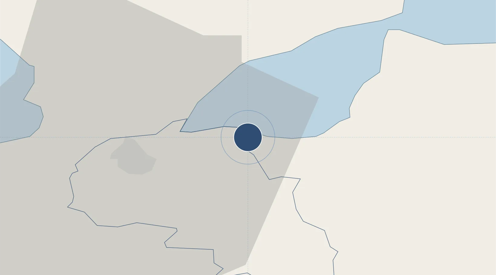
55.0428°, -7.1611°
6,460 ft
Longest runway
1
Runways
22 ft
Elevation

Runway & Layout

City of Derry Airport runway & taxiway layout
Runway & taxiway layout — OpenStreetMap (ODbL) / OurAirports

Radio Frequencies

ATIS
119.38 MHz
Eglinton Information
TWR
134.155 MHz
Eglinton Tower
APP
123.625 MHz
Eglinton Approach
OurAirports

Runways · 1

RunwayDimensions SurfaceTrue headingLit
08/26 6,460 × 148ft Asphalt 073°
OurAirports

Airport Specifications

IATA code
LDY
OurAirports
ICAO code
EGAE
OurAirports
Airport class
Medium airport
OurAirports
Scheduled service
Yes
OurAirports
Runway surface
Asphalt
OurAirports
Served city
Derry, Derry and Strabane
OurAirports

Location

Location of EGAE
Natural Earth 10m (public domain) · Derry · EGAE · 55.04, -7.16GoogleOSMYandex

Nearby Logistics Neighbours

Airports
  1. 1Belfast International Airport74 km
  2. 2Donegal Airport75 km
  3. 3Enniskillen/St Angelo Airport78 km
  4. 4Islay Airport91 km
  5. 5George Best Belfast City Airport95 km
Nearest neighbours — logibook spatial index (haversine) over the source coordinates
Cities
  1. 1Maydown6 km
  2. 2Burnfoot15 km
  3. 3Moville18 km
  4. 4Magilligan Point Ferry Terminal, Lough Foyle20 km
  5. 5Greencastle21 km
Nearest neighbours — logibook spatial index (haversine) over the source coordinates
Ports
  1. 1Londonderry11 km
  2. 2Rathmullan25 km
  3. 3Coleraine33 km
  4. 4Port Ellen90 km
  5. 5Larne90 km
Nearest neighbours — logibook spatial index (haversine) over the source coordinates
Trade Zones
  1. 1Prestwick Airport Free Zone170 km
  2. 2Isle of Man Free Zone and Business Park195 km
  3. 3Dublin International Financial Services Centre197 km
  4. 4Carlisle Kingmoor Park Enterprise Zone268 km
  5. 5Shannon Free Zone284 km
Nearest neighbours — logibook spatial index (haversine) over the source coordinates
DatabookThe Record of Consolidated Knowledge
United Kingdom beyond logistics?
Browse databook

All Sources

AirportsOurAirports
Public domain
Portsthe NGA World Port Index
Public domain (US gov)
LocationsUN/LOCODE
UN/LOCODE — free
Trade Zonesthe World Bank SEZ database
CC BY 4.0
Trade ZonesOpen Zone Map
CC BY
InfrastructureOpenStreetMap
ODbL 1.0
← United Kingdom airports