Medium airport · United Kingdom
Islay AirportEGPI
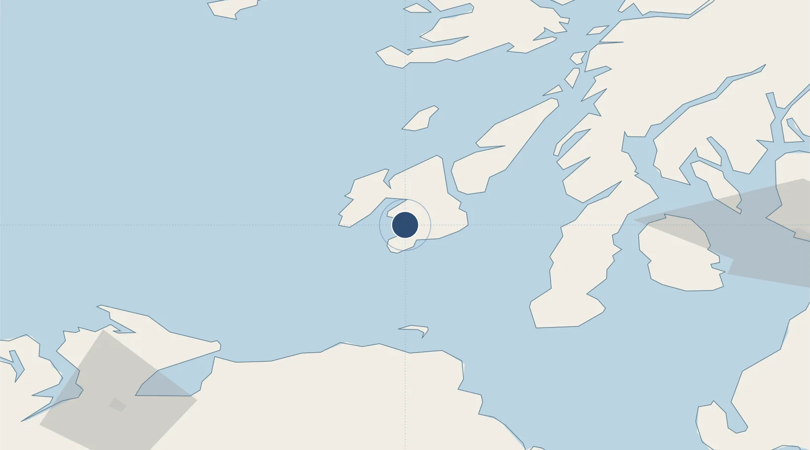
55.6827°, -6.2575°
5,098 ft
Longest runway
2
Runways
56 ft
Elevation
Runway & Layout

Radio Frequencies
AFIS
123.155 MHz
Islay Information
Navaids
ISY DME Islay 109.95 MHz
LAY NDB Islay 395 kHz
Runways · 2
| Runway | Dimensions | Surface | True heading | Lit |
|---|---|---|---|---|
| 13/31 | 5,098 × 151ft | Asphalt | 112° | ✓ |
| 08/26 | 2,083 × 59ft | Asphalt | 073° | ✓ |
Airport Specifications
IATA code
ILY
ICAO code
EGPI
Airport class
Medium airport
Scheduled service
Yes
Runway surface
Asphalt
Served city
Isle of Islay, Argyll and Bute
Location
Nearby Logistics Neighbours
Airports
- 1Colonsay Airstrip42 km
- 2Campbeltown Airport45 km
- 3City of Derry Airport91 km
- 4Tiree Airport98 km
- 5Oban Airport102 km
Cities
- 1Port Ellen7 km
- 2Ardbeg11 km
- 3Bruichladdich12 km
- 4Islay13 km
- 5Portnahaven15 km
Ports
- 1Port Ellen7 km
- 2Campbeltown50 km
- 3Crinan (Canal)62 km
- 4Ardrishaig63 km
- 5Coleraine66 km
Trade Zones
DatabookThe Record of Consolidated Knowledge
United Kingdom beyond logistics?