Transport Functions
Road
Multimodal
Hub Profile
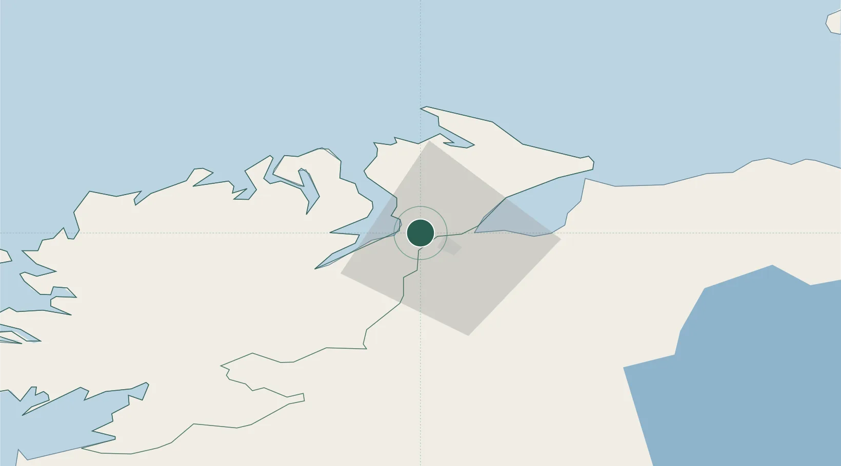
Place type
Populated place
Region
Ulster
Population
450
Time zone
Europe/Dublin
Elevation
6 m
Location
Nearby Logistics Neighbours
Cities
- 1Rathmullan10 km
- 2Maydown10 km
- 3Ramelton15 km
- 4Fintona27 km
- 5Moville28 km
Ports
- 1Londonderry8 km
- 2Rathmullan10 km
- 3Coleraine48 km
- 4Killybegs82 km
- 5Port Ellen100 km
Airports
- 1City of Derry Airport15 km
- 2Donegal Airport60 km
- 3Enniskillen/St Angelo Airport74 km
- 4Belfast International Airport88 km
- 5Islay Airport101 km
Trade Zones
DatabookThe Record of Consolidated Knowledge
Ireland beyond logistics?