Channel & Berth Profile
Pilotage, Tugs & Services
Pilotage compulsoryYES
Pilotage availableYES
Pilotage advisableYES
Tug assistanceYES
Potable waterYES
Diesel bunkersYES
MedicalYES
Garbage disposalYES
Facilities & Capabilities
Container—
Ro-Ro—
Liquid bulk—
Dry bulk—
Oil terminal—
Break bulk—
Dry dockNO
RepairsNO
BunkeringYES
Rail linkYES
Dangerous cargo—
ISPS security—
Harbour Specifications
Harbour size
Medium
Harbour type
River (Natural)
Shelter
Excellent
Water body
North Atlantic Ocean
Tidal range
2 m
Overhead limit
Yes
Pilotage
Yes
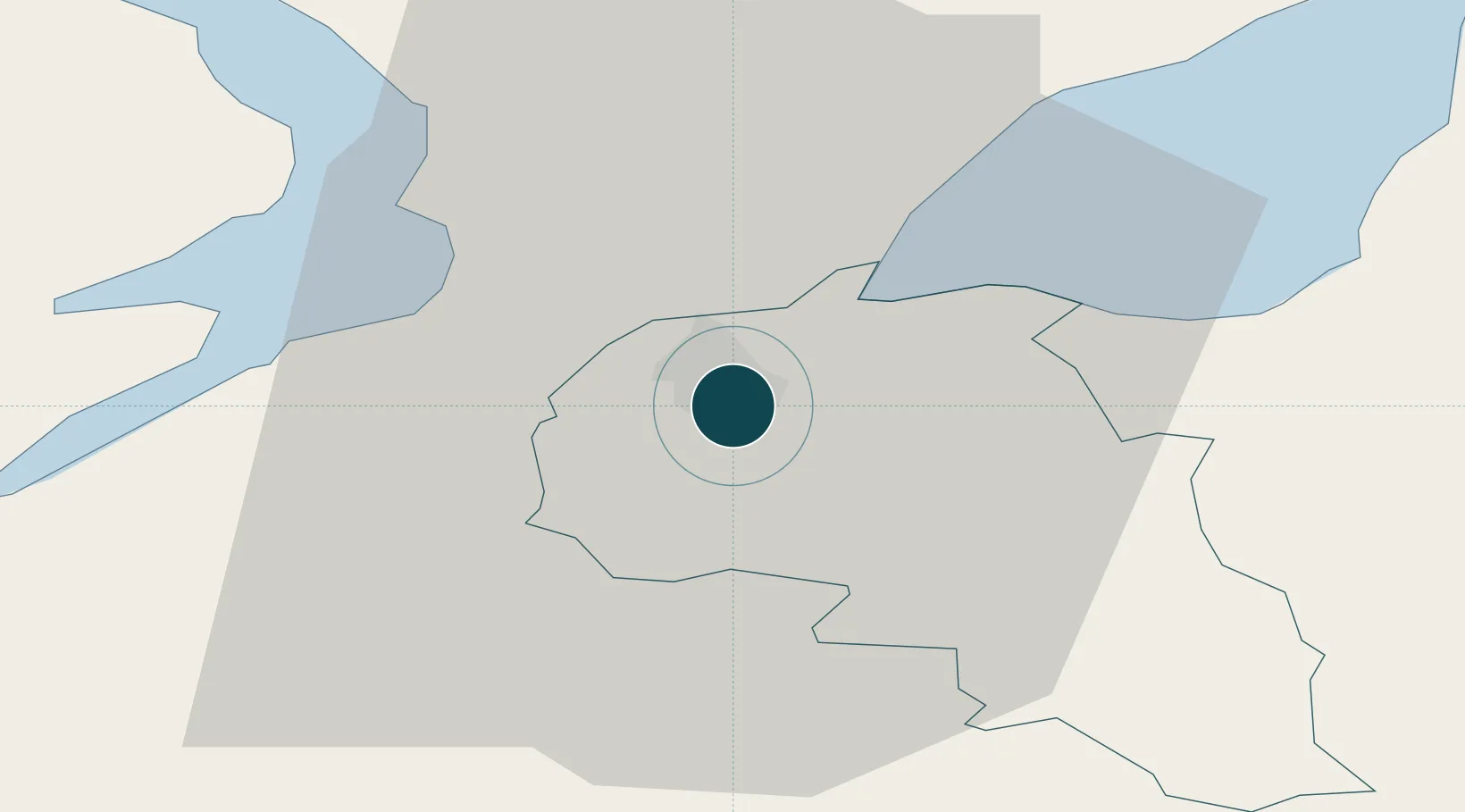
Location
Nearby Logistics Neighbours
Ports
- 1Rathmullan18 km
- 2Coleraine44 km
- 3Killybegs83 km
- 4Larne98 km
- 5Port Ellen100 km
Cities
- 1Maydown5 km
- 2Burnfoot8 km
- 3Rathmullan18 km
- 4Ramelton21 km
- 5Strabane24 km
Airports
- 1City of Derry Airport11 km
- 2Donegal Airport66 km
- 3Enniskillen/St Angelo Airport70 km
- 4Belfast International Airport80 km
- 5Islay Airport101 km
Trade Zones
DatabookThe Record of Consolidated Knowledge
United Kingdom beyond logistics?