Transport Functions
Rail
Road
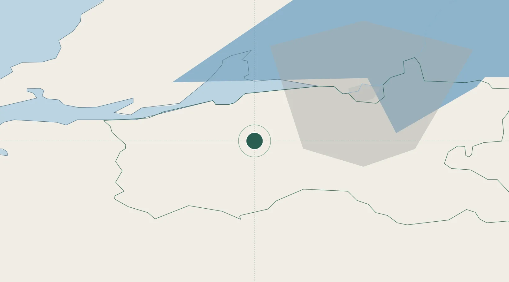
Hub Profile
Place type
Populated place
Region
Munster
Population
1,550
Time zone
Europe/Dublin
Elevation
41 m
Location
Nearby Logistics Neighbours
Cities
- 1Shannon21 km
- 2Clarecastle33 km
- 3Murroe40 km
- 4Annacotty45 km
- 5Ballina46 km
Airports
- 1Shannon Airport21 km
- 2Kerry Airport55 km
- 3Inisheer Aerodrome72 km
- 4Inishmaan Aerodrome77 km
- 5Cork International Airport81 km
Trade Zones
DatabookThe Record of Consolidated Knowledge
Ireland beyond logistics?