Transport Functions
Rail
Road
Multimodal
Hub Profile
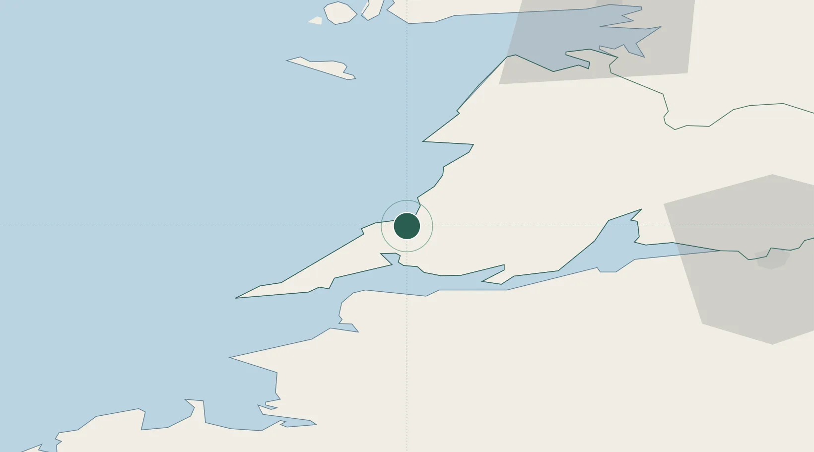
Place type
Populated place
Region
Munster
Population
272
Time zone
Europe/Dublin
Elevation
9 m
Location
Nearby Logistics Neighbours
Cities
- 1Kilmurry9 km
- 2Ennistymon27 km
- 3Clarecastle39 km
- 4Kilronan44 km
- 5Shannon45 km
Airports
- 1Inisheer Aerodrome37 km
- 2Shannon Airport40 km
- 3Inishmaan Aerodrome40 km
- 4Inishmore Aerodrome43 km
- 5Connemara Regional Airport55 km
Trade Zones
DatabookThe Record of Consolidated Knowledge
Ireland beyond logistics?