UN/LOCODE hub · Indonesia
IDPAZ

Pasuruan, Java

-7.6333°, 112.9000°
3
Transport functions

Transport Functions

Port
Rail
Road
UN/LOCODE

Location

Location of IDPAZ
Natural Earth 10m (public domain) · Jawa Timur · IDPAZ · -7.63, 112.90GoogleOSMYandex

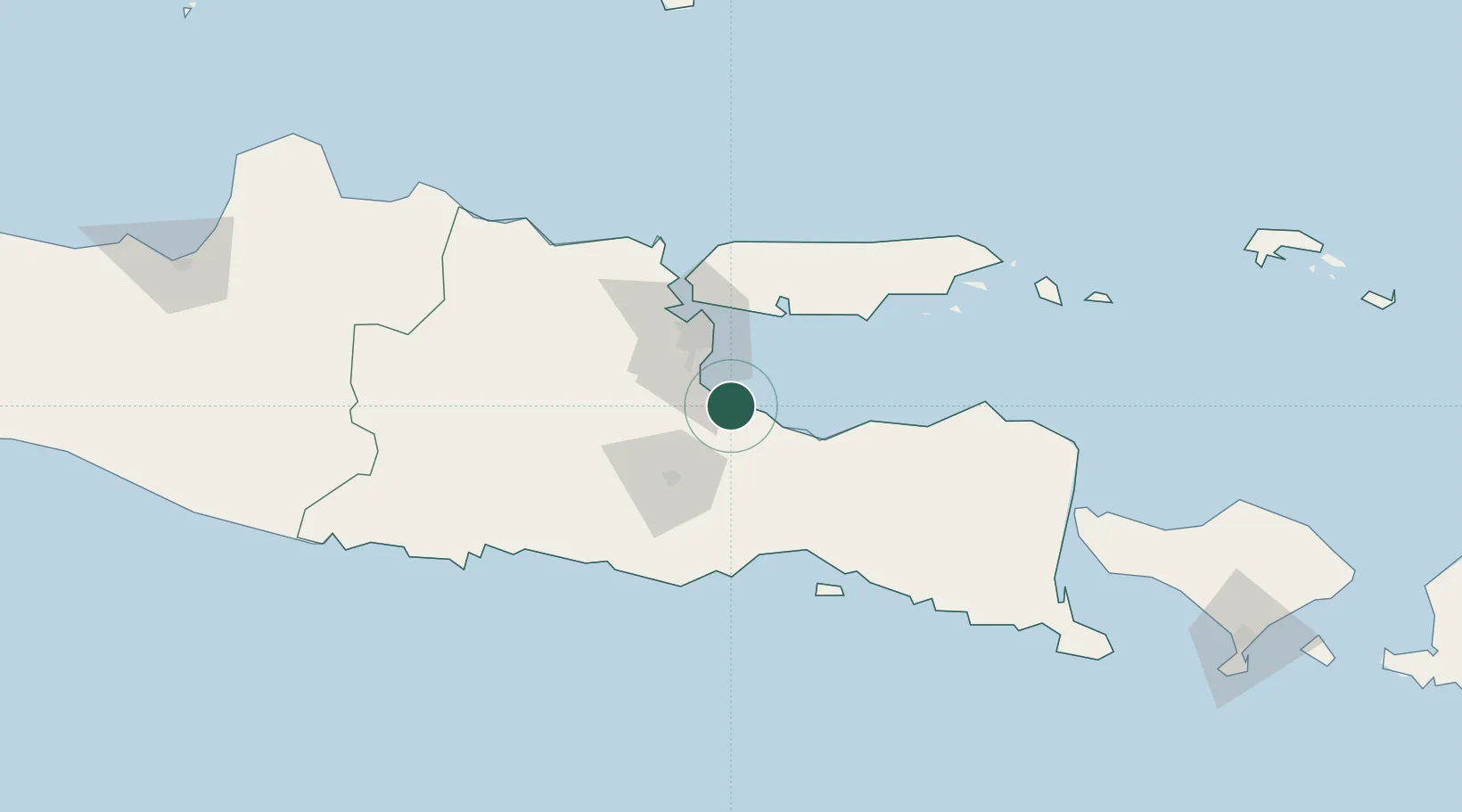
Nearby Logistics Neighbours

Cities
  1. 1Purwosari24 km
  2. 2Mojosari41 km
  3. 3Jawa Timur46 km
  4. 4Surabaya50 km
  5. 5Mojokerto55 km
Nearest neighbours — logibook spatial index (haversine) over the source coordinates
Ports
  1. 1Probolinggo36 km
  2. 2Surabaya52 km
  3. 3Gresik60 km
  4. 4Poleng Oil Field109 km
  5. 5Panarukan114 km
Nearest neighbours — logibook spatial index (haversine) over the source coordinates
Airports
  1. 1Juanda International Airport31 km
  2. 2Abdul Rachman Saleh Airport39 km
  3. 3Dhoho International Airport106 km
  4. 4Notohadinegoro Airport111 km
  5. 5Banyuwangi Airport176 km
Nearest neighbours — logibook spatial index (haversine) over the source coordinates
Trade Zones
  1. 1Pasuruan Industrial Estate Rembang9 km
  2. 2Safe N Lock Industrial Estate25 km
  3. 3Ngoro Industrial Park33 km
  4. 4Surabaya Industrial Estate - Rungkut37 km
  5. 5KEK Singhasari40 km
Nearest neighbours — logibook spatial index (haversine) over the source coordinates
DatabookThe Record of Consolidated Knowledge
Indonesia beyond logistics?
Browse databook

All Sources

LocationsUN/LOCODE
UN/LOCODE — free
Portsthe NGA World Port Index
Public domain (US gov)
AirportsOurAirports
Public domain
Trade Zonesthe World Bank SEZ database
CC BY 4.0
Trade ZonesOpen Zone Map
CC BY
← Indonesia locations