Medium airport · Indonesia

Adisumarmo AirportWARQ
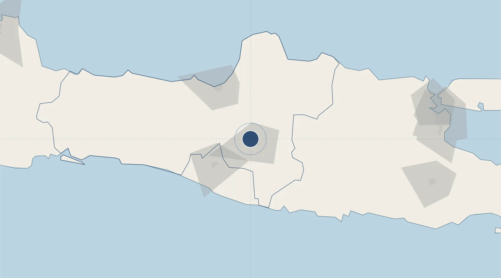
-7.5160°, 110.7575°
8,530 ft
Longest runway
1
Runways
421 ft
Elevation

Runway & Layout

Adisumarmo Airport runway & taxiway layout
Runway & taxiway layout — OpenStreetMap (ODbL) / OurAirports

Radio Frequencies

ATIS
127.2 MHz
TWR
122.7 MHz
MARMO TWR
APP
123.4 MHz
YOGYA APP
TCA
120.3 MHz
SEMARANG TCA
OurAirports

Runways · 1

RunwayDimensions SurfaceTrue headingLit
08/26 8,530 × 148ft Asphalt 078°
OurAirports

Airport Specifications

IATA code
SOC
OurAirports
ICAO code
WAHQ
OurAirports
Airport class
Medium airport
OurAirports
Scheduled service
Yes
OurAirports
Runway surface
Asphalt
OurAirports
Served city
Surakarta
OurAirports

Location

Location of WARQ
Natural Earth 10m (public domain) · Jawa Tengah · WARQ · -7.52, 110.76GoogleOSMYandex

Nearby Logistics Neighbours

Airports
  1. 1Adisutjipto International Airport47 km
  2. 2Jenderal Ahmad Yani Airport74 km
  3. 3Yogyakarta International Airport89 km
  4. 4Dhoho International Airport134 km
  5. 5Tunggul Wulung Airport191 km
Nearest neighbours — logibook spatial index (haversine) over the source coordinates
Cities
  1. 1Sukoharjo20 km
  2. 2Karanganyar23 km
  3. 3Klaten28 km
  4. 4Sragen32 km
  5. 5Tawangsari35 km
Nearest neighbours — logibook spatial index (haversine) over the source coordinates
Ports
  1. 1Semarang73 km
  2. 2Rembang112 km
  3. 3Pekalongan138 km
  4. 4Tuban177 km
  5. 5Tegal194 km
Nearest neighbours — logibook spatial index (haversine) over the source coordinates
Trade Zones
  1. 1Jatengland Industrial Park Sayung69 km
  2. 2Terboyo Industrial Estate70 km
  3. 3Bukit Semarang Baru Industrial Park71 km
  4. 4Tanjung Emas Export Processing Zone73 km
  5. 5Candi Industrial Estate73 km
Nearest neighbours — logibook spatial index (haversine) over the source coordinates
DatabookThe Record of Consolidated Knowledge
Indonesia beyond logistics?
Browse databook

All Sources

AirportsOurAirports
Public domain
Portsthe NGA World Port Index
Public domain (US gov)
LocationsUN/LOCODE
UN/LOCODE — free
Trade Zonesthe World Bank SEZ database
CC BY 4.0
Trade ZonesOpen Zone Map
CC BY
InfrastructureOpenStreetMap
ODbL 1.0
← Indonesia airports