Channel & Berth Profile
Pilotage, Tugs & Services
Pilotage availableYES
Tug assistanceYES
Potable waterYES
Diesel bunkersNO
MedicalYES
Facilities & Capabilities
Container—
Ro-Ro—
Liquid bulk—
Dry bulk—
Oil terminal—
Break bulk—
Dry dock—
Repairs—
BunkeringYES
Rail link—
Dangerous cargo—
ISPS security—
Harbour Specifications
Harbour size
Very Small
Harbour type
Open Roadstead
Shelter
Poor
Water body
Bali Sea; Java Sea; South Pacific Ocean
Tidal range
3 m
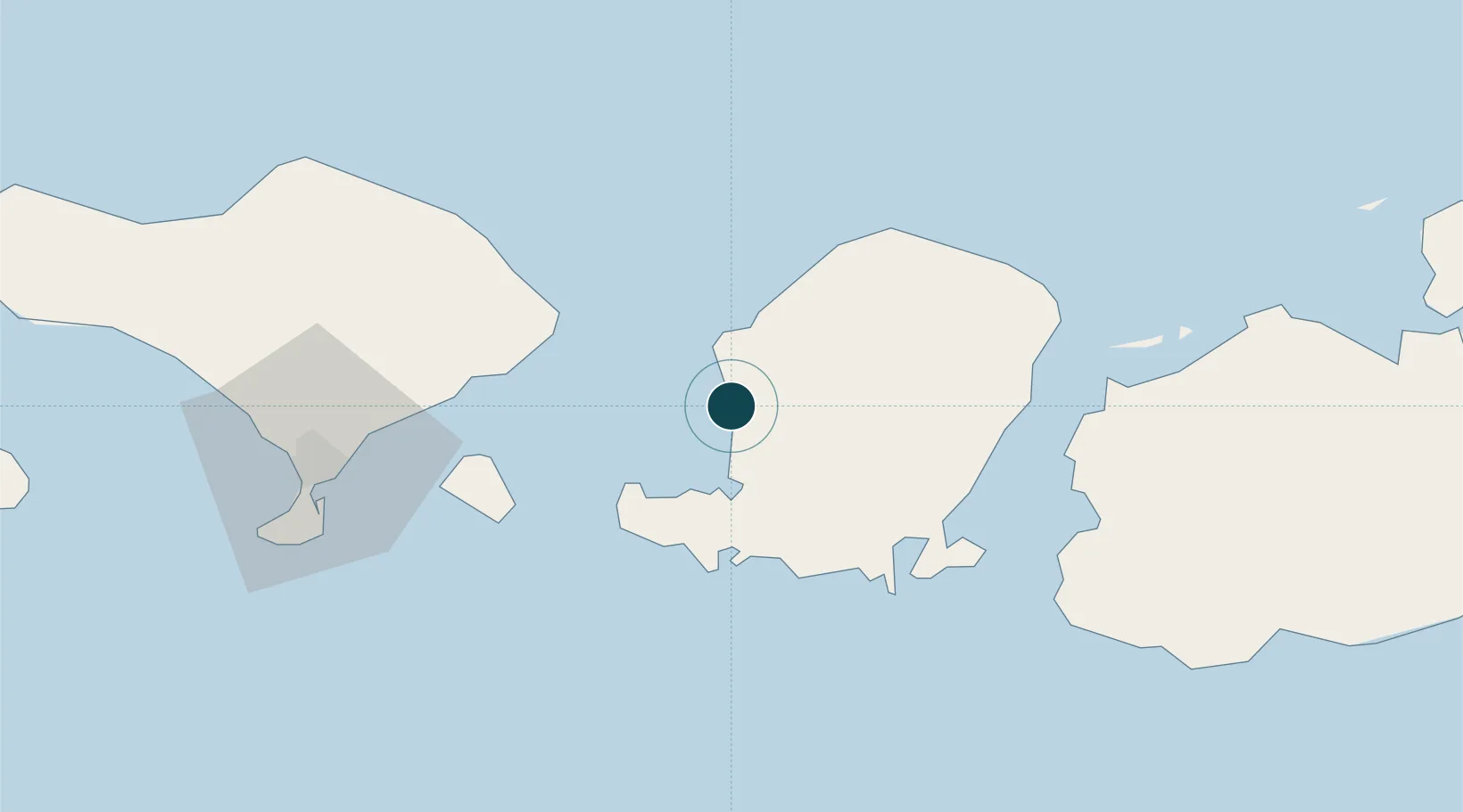
Location
Nearby Logistics Neighbours
Ports
- 1Tanjung Benete84 km
- 2Benoa96 km
- 3Celukan Bawang142 km
- 4Panarukan254 km
- 5Probolinggo328 km
Airports
Trade Zones
- 1KEK Mandalika44 km
- 2Pasuruan Industrial Estate Rembang373 km
- 3KEK Singhasari385 km
- 4Safe N Lock Industrial Estate386 km
- 5Surabaya Industrial Estate - Rungkut390 km
DatabookThe Record of Consolidated Knowledge
Indonesia beyond logistics?