Medium airport · Indonesia

Sultan Muhammad Salahuddin AirportWADB
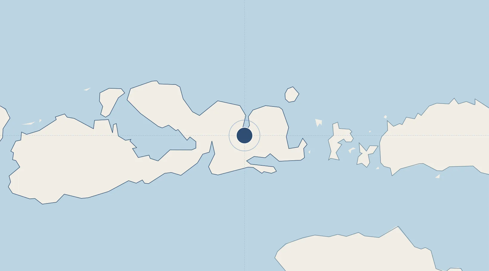
-8.5372°, 118.6850°
5,405 ft
Longest runway
1
Runways
3 ft
Elevation

Runway & Layout

Sultan Muhammad Salahuddin Airport runway & taxiway layout
Runway & taxiway layout — OpenStreetMap (ODbL) / OurAirports

Radio Frequencies

TWR
120.3 MHz
SALAHUDDIN TWR
RDO
782.5 MHz
BIMA RDO
OurAirports

Navaids

NMA VOR-DME Bima 115.10 MHz
PO NDB Bima 223 kHz
OurAirports

Runways · 1

RunwayDimensions SurfaceTrue headingLit
13/31 5,405 × 98ft Asphalt 138°
OurAirports

Airport Specifications

IATA code
BMU
OurAirports
ICAO code
WADB
OurAirports
Airport class
Medium airport
OurAirports
Scheduled service
Yes
OurAirports
Runway surface
Asphalt
OurAirports
Served city
Bima
OurAirports

Location

Location of WADB
Natural Earth 10m (public domain) · Nusa Tenggara Barat · WADB · -8.54, 118.69GoogleOSMYandex

Nearby Logistics Neighbours

Airports
  1. 1Tambolaka Airport115 km
  2. 2Komodo Airport133 km
  3. 3Sultan Muhammad Kaharuddin III Airport140 km
  4. 4Frans Sales Lega Airport197 km
  5. 5Umbu Mehang Kunda Airport218 km
Nearest neighbours — logibook spatial index (haversine) over the source coordinates
Cities
  1. 1Sape33 km
  2. 2Komodo90 km
  3. 3Labuan Bajo132 km
  4. 4Pelabuhan Badas145 km
  5. 5Reo201 km
Nearest neighbours — logibook spatial index (haversine) over the source coordinates
Ports
  1. 1Waingapu208 km
  2. 2Tanjung Benete217 km
  3. 3Ampenan288 km
  4. 4Ende328 km
  5. 5Benoa382 km
Nearest neighbours — logibook spatial index (haversine) over the source coordinates
Trade Zones
  1. 1KEK Mandalika266 km
  2. 2Terpadu Takalar Industrial Estate351 km
  3. 3Bantaeng Industrial Park (BIP)368 km
  4. 4Kawasan Industri Makassar392 km
  5. 5Oecusse Ambeno Enclave Special Zone For Social Market Economy (Zeesm)623 km
Nearest neighbours — logibook spatial index (haversine) over the source coordinates
DatabookThe Record of Consolidated Knowledge
Indonesia beyond logistics?
Browse databook

All Sources

AirportsOurAirports
Public domain
Portsthe NGA World Port Index
Public domain (US gov)
LocationsUN/LOCODE
UN/LOCODE — free
Trade Zonesthe World Bank SEZ database
CC BY 4.0
Trade ZonesOpen Zone Map
CC BY
InfrastructureOpenStreetMap
ODbL 1.0
← Indonesia airports