Small airport · Indonesia

Sultan Muhammad Kaharuddin III AirportWADS
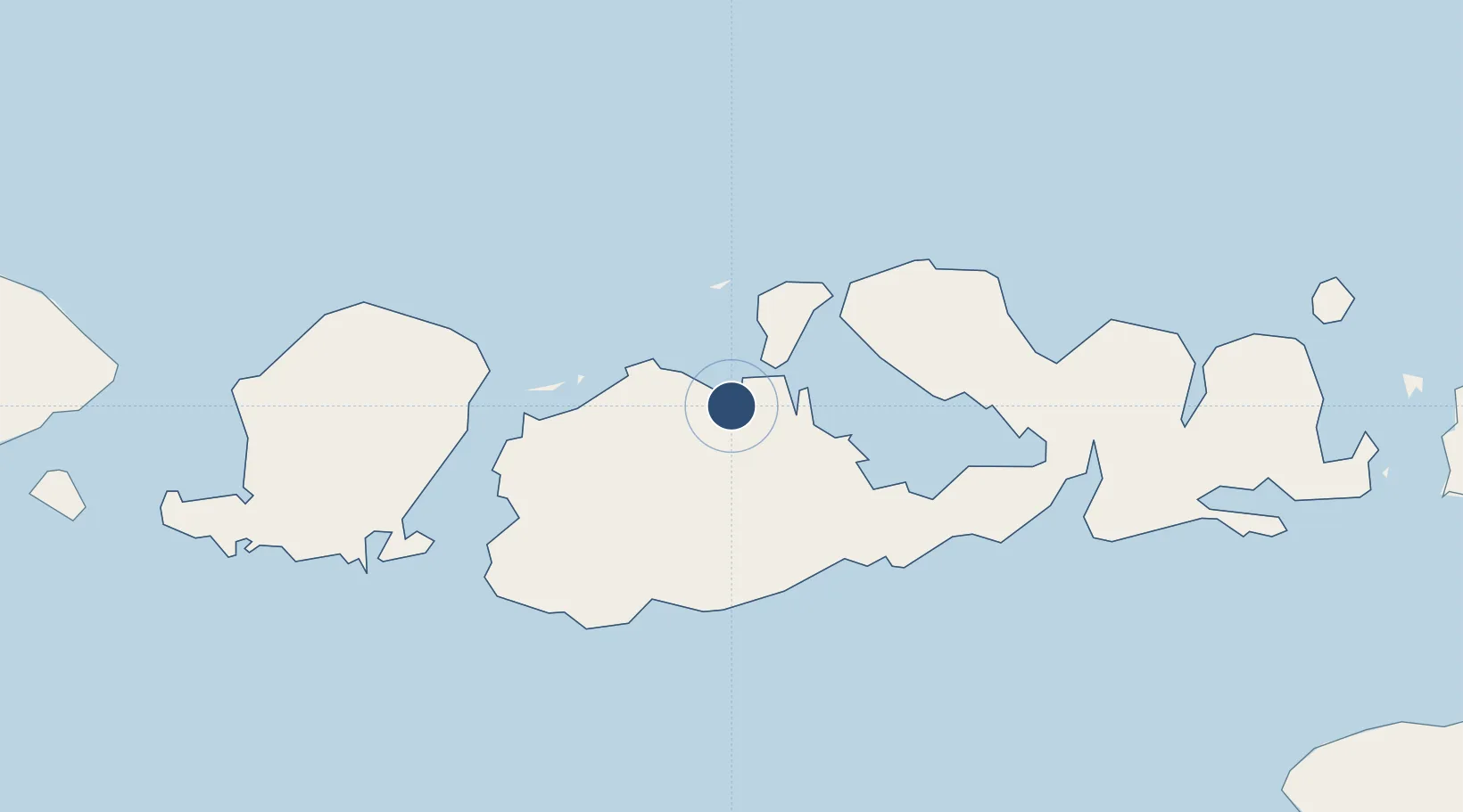
-8.4890°, 117.4120°
5,906 ft
Longest runway
1
Runways
16 ft
Elevation

Runway & Layout

Sultan Muhammad Kaharuddin III Airport runway & taxiway layout
Runway & taxiway layout — OpenStreetMap (ODbL) / OurAirports

Radio Frequencies

A/G
118.1 MHz
INFO
OurAirports

Navaids

NQ NDB Sumbawa 305 kHz
OurAirports

Runways · 1

RunwayDimensions SurfaceTrue headingLit
14/32 5,906 × 98ft Asphalt 141°
OurAirports

Airport Specifications

IATA code
SWQ
OurAirports
ICAO code
WADS
OurAirports
Airport class
Small airport
OurAirports
Scheduled service
Yes
OurAirports
Runway surface
Asphalt
OurAirports
Served city
Sumbawa Besar
OurAirports

Location

Location of WADS
Natural Earth 10m (public domain) · Nusa Tenggara Barat · WADS · -8.49, 117.41GoogleOSMYandex

Nearby Logistics Neighbours

Airports
  1. 1Lombok International Airport128 km
  2. 2Sultan Muhammad Salahuddin Airport140 km
  3. 3Tambolaka Airport226 km
  4. 4Discovery Kartika Plaza Heliport248 km
  5. 5Denpasar I Gusti Ngurah Rai International Airport249 km
Nearest neighbours — logibook spatial index (haversine) over the source coordinates
Cities
  1. 1Pelabuhan Badas7 km
  2. 2Poto Tano64 km
  3. 3Cereweh75 km
  4. 4Kahyangan82 km
  5. 5Lombok82 km
Nearest neighbours — logibook spatial index (haversine) over the source coordinates
Ports
  1. 1Tanjung Benete86 km
  2. 2Ampenan148 km
  3. 3Benoa243 km
  4. 4Celukan Bawang286 km
  5. 5Waingapu333 km
Nearest neighbours — logibook spatial index (haversine) over the source coordinates
Trade Zones
  1. 1KEK Mandalika131 km
  2. 2Terpadu Takalar Industrial Estate402 km
  3. 3Bantaeng Industrial Park (BIP)438 km
  4. 4Kawasan Industri Makassar441 km
  5. 5Pasuruan Industrial Estate Rembang515 km
Nearest neighbours — logibook spatial index (haversine) over the source coordinates
DatabookThe Record of Consolidated Knowledge
Indonesia beyond logistics?
Browse databook

All Sources

AirportsOurAirports
Public domain
Portsthe NGA World Port Index
Public domain (US gov)
LocationsUN/LOCODE
UN/LOCODE — free
Trade Zonesthe World Bank SEZ database
CC BY 4.0
Trade ZonesOpen Zone Map
CC BY
InfrastructureOpenStreetMap
ODbL 1.0
← Indonesia airports