Transport Functions
Port
Road
Airport
Hub Profile
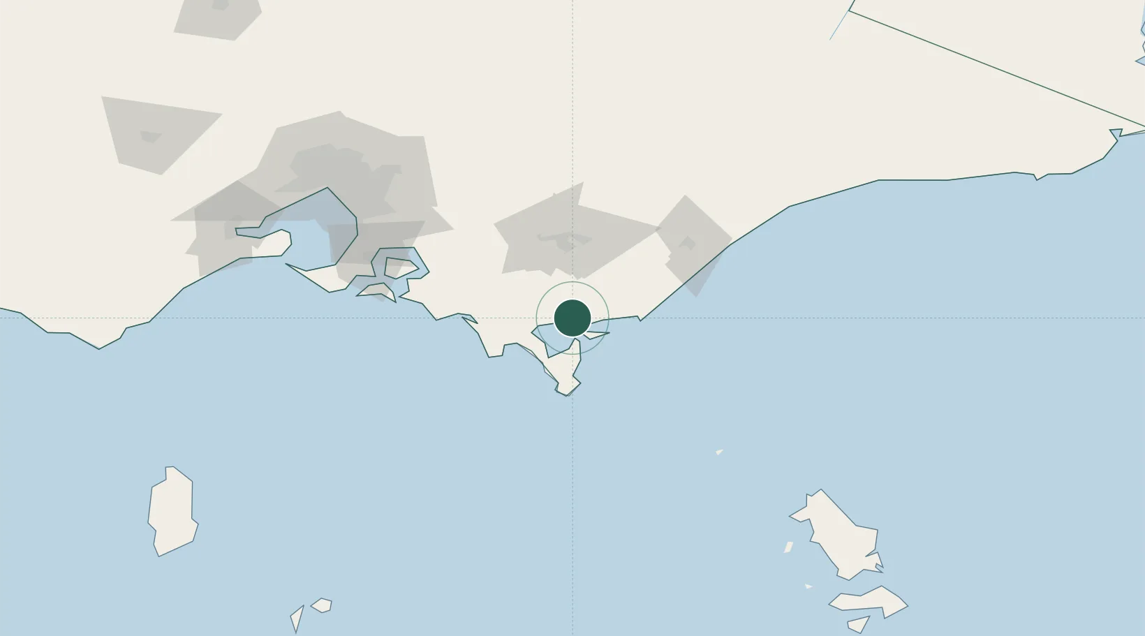
Place type
Populated place
Region
Victoria
Population
323
Time zone
Australia/Melbourne
Elevation
18 m
Location
Nearby Logistics Neighbours
Cities
- 1Barry Beach6 km
- 2Berrys Creek42 km
- 3Moe58 km
- 4Flynn60 km
- 5Kongwak66 km
Ports
- 1Western Port110 km
- 2Melbourne158 km
- 3Geelong189 km
- 4Stanley253 km
- 5Port Latta257 km
Airports
- 1Latrobe Valley Airport51 km
- 2West Sale Airport79 km
- 3RAAF Base East Sale89 km
- 4Bairnsdale Airport132 km
- 5Melbourne Moorabbin Airport139 km
Trade Zones
DatabookThe Record of Consolidated Knowledge
Australia beyond logistics?