Transport Functions
Port
Multimodal
Hub Profile
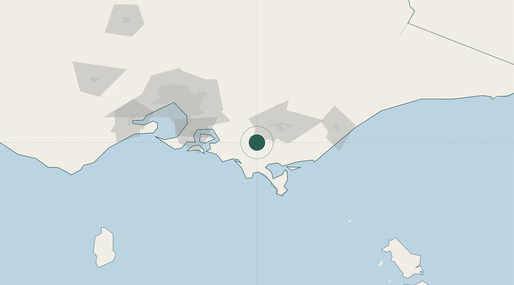
Place type
Populated place
Region
Victoria
Population
156
Time zone
Australia/Melbourne
Elevation
173 m
Location
Nearby Logistics Neighbours
Cities
- 1Warragul30 km
- 2Moe33 km
- 3Kongwak34 km
- 4Drouin37 km
- 5Barry Beach42 km
Ports
- 1Welshpool47 km
- 2Western Port73 km
- 3Melbourne116 km
- 4Geelong151 km
- 5Stanley270 km
Airports
- 1Latrobe Valley Airport42 km
- 2West Sale Airport86 km
- 3Melbourne Moorabbin Airport98 km
- 4RAAF Base East Sale101 km
- 5Melbourne Essendon Airport128 km
Trade Zones
DatabookThe Record of Consolidated Knowledge
Australia beyond logistics?