Economic Revitalization Project · Australia

Latrobe Valley Economic Growth Zone Active
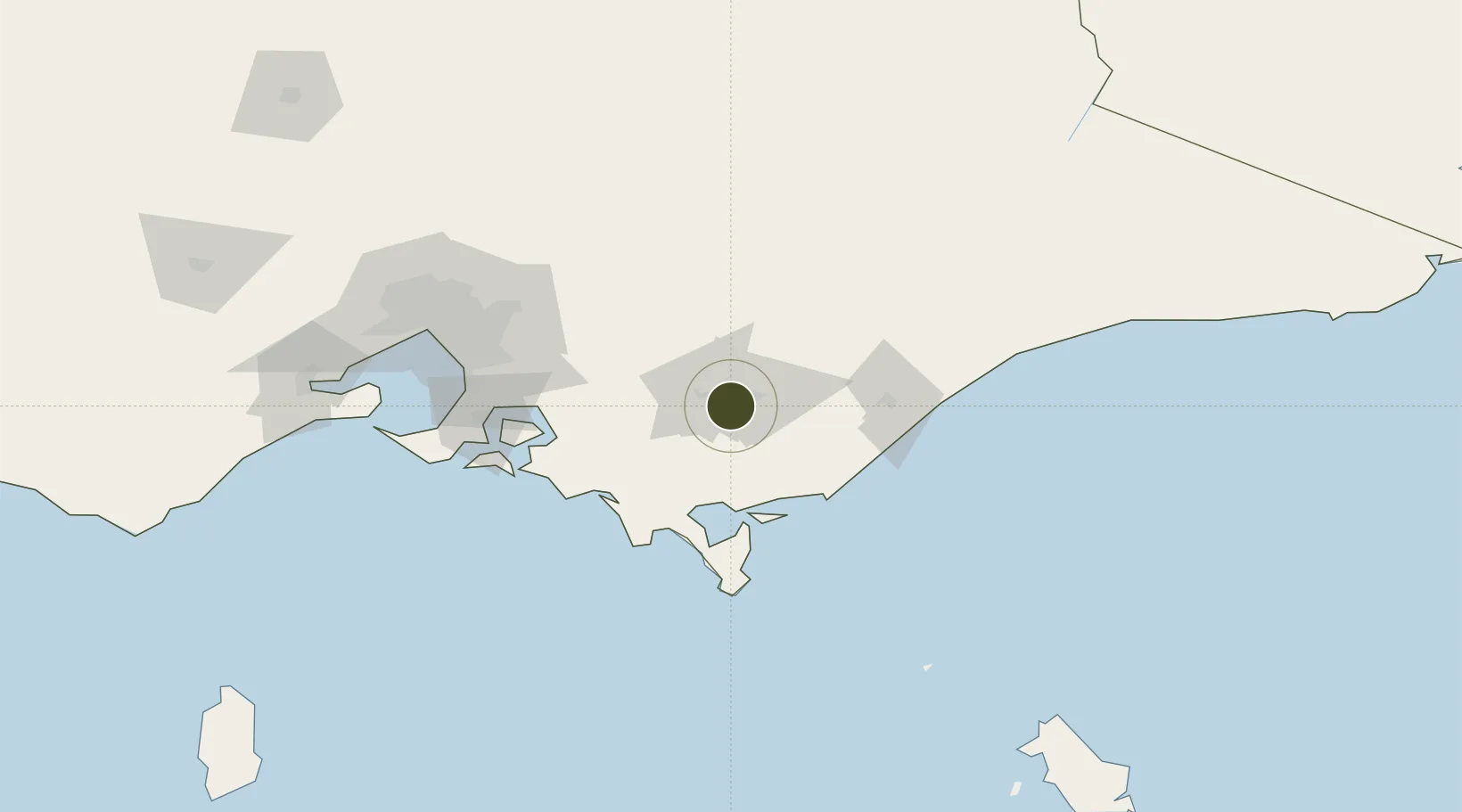
-38.2348°, 146.3896°
1,810,000 ha
Zone area
52.2 km
Nearest port
7.6 km
Nearest airport

Gateway access

Nearest neighbours — logibook spatial index (haversine) over the source coordinates

Zone profile

Zone type
Economic Revitalization Project
Open Zone Map
Region
Victoria
Open Zone Map
Status
Active
Open Zone Map
Management
Public
Open Zone Map
Operator
Latrobe Valley Authority
Open Zone Map
Legal framework
Order in Council of 8 November 2016 on the Latrobe Valley Authority
Open Zone Map

Location

Location of ozm-60
Natural Earth 10m (public domain) · Victoria · ozm-60 · -38.23, 146.39GoogleOSMYandex

Nearby Logistics Neighbours

Ports
  1. 1Welshpool52 km
  2. 2Western Port102 km
  3. 3Melbourne132 km
  4. 4Geelong177 km
  5. 5Stanley297 km
Nearest neighbours — logibook spatial index (haversine) over the source coordinates
Airports
  1. 1Latrobe Valley Airport8 km
  2. 2West Sale Airport53 km
  3. 3RAAF Base East Sale68 km
  4. 4Bairnsdale Airport110 km
  5. 5Melbourne Moorabbin Airport116 km
Nearest neighbours — logibook spatial index (haversine) over the source coordinates
Cities
  1. 1Moe13 km
  2. 2Flynn27 km
  3. 3Berrys Creek35 km
  4. 4Warragul41 km
  5. 5Welshpool48 km
Nearest neighbours — logibook spatial index (haversine) over the source coordinates
Trade Zones
  1. 1Hicks Bay Area Special Economic Zone2772 km
  2. 2Paga Hill Estate Special Economic Zone3198 km
  3. 3Vanuatu Economic Development Zone3244 km
  4. 4Ihu Special Economic Zone3375 km
  5. 5Morobe Agricultural Special Economic Zone3512 km
Nearest neighbours — logibook spatial index (haversine) over the source coordinates
DatabookThe Record of Consolidated Knowledge
Australia beyond logistics?
Browse databook

All Sources

Trade ZonesOpen Zone Map
CC BY
Portsthe NGA World Port Index
Public domain (US gov)
AirportsOurAirports
Public domain
LocationsUN/LOCODE
UN/LOCODE — free
← Australia trade zones