Channel & Berth Profile
Pilotage, Tugs & Services
Pilotage compulsoryYES
Pilotage availableYES
Pilotage advisableYES
Tug assistanceYES
Potable waterYES
Diesel bunkersYES
MedicalYES
Garbage disposalNO
Facilities & Capabilities
Container—
Ro-RoYES
Liquid bulk—
Dry bulkYES
Oil terminal—
Break bulkYES
Dry dock—
RepairsNO
BunkeringYES
Rail link—
Dangerous cargo—
ISPS security—
Harbour Specifications
Harbour size
Very Small
Harbour type
Coastal (Breakwater)
Shelter
Fair
Water body
Bass Strait; South Pacific Ocean
Tidal range
1 m
Pilotage
Yes
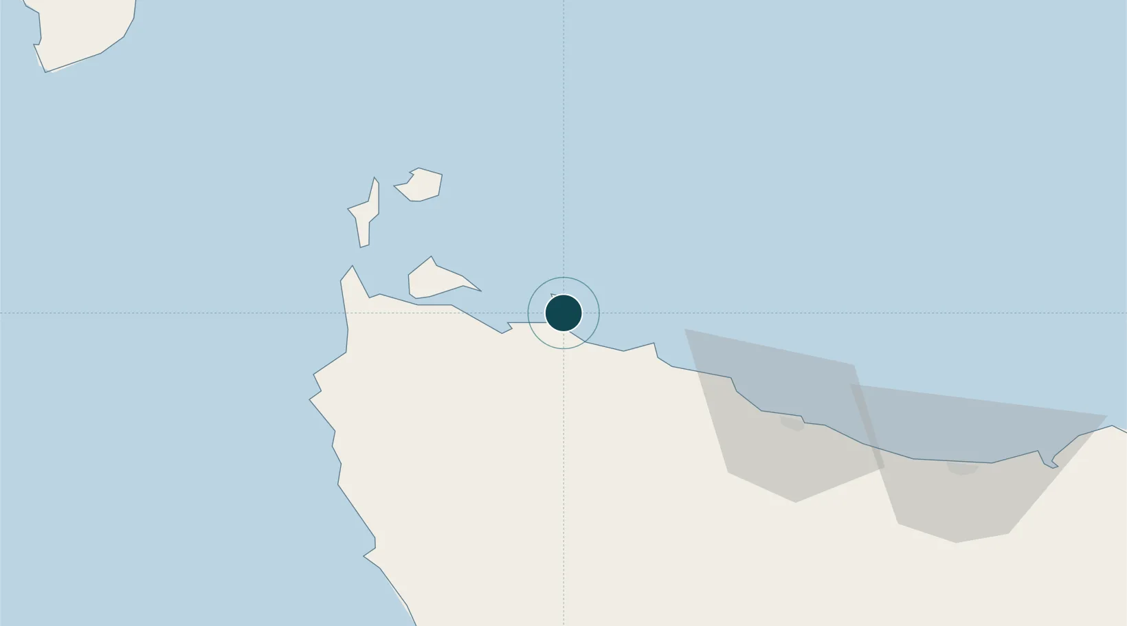
Location
Nearby Logistics Neighbours
Ports
- 1Port Latta11 km
- 2Burnie64 km
- 3Devonport102 km
- 4Beauty Point136 km
- 5Port Dalrymple136 km
Airports
- 1Smithton Airport18 km
- 2Wynyard Airport45 km
- 3Devonport Airport106 km
- 4King Island Airport155 km
- 5Launceston Airport183 km
Trade Zones
DatabookThe Record of Consolidated Knowledge
Australia beyond logistics?