Transport Functions
Port
Road
Hub Profile
Place type
Populated place
Region
Victoria
Time zone
Australia/Melbourne
Elevation
7 m
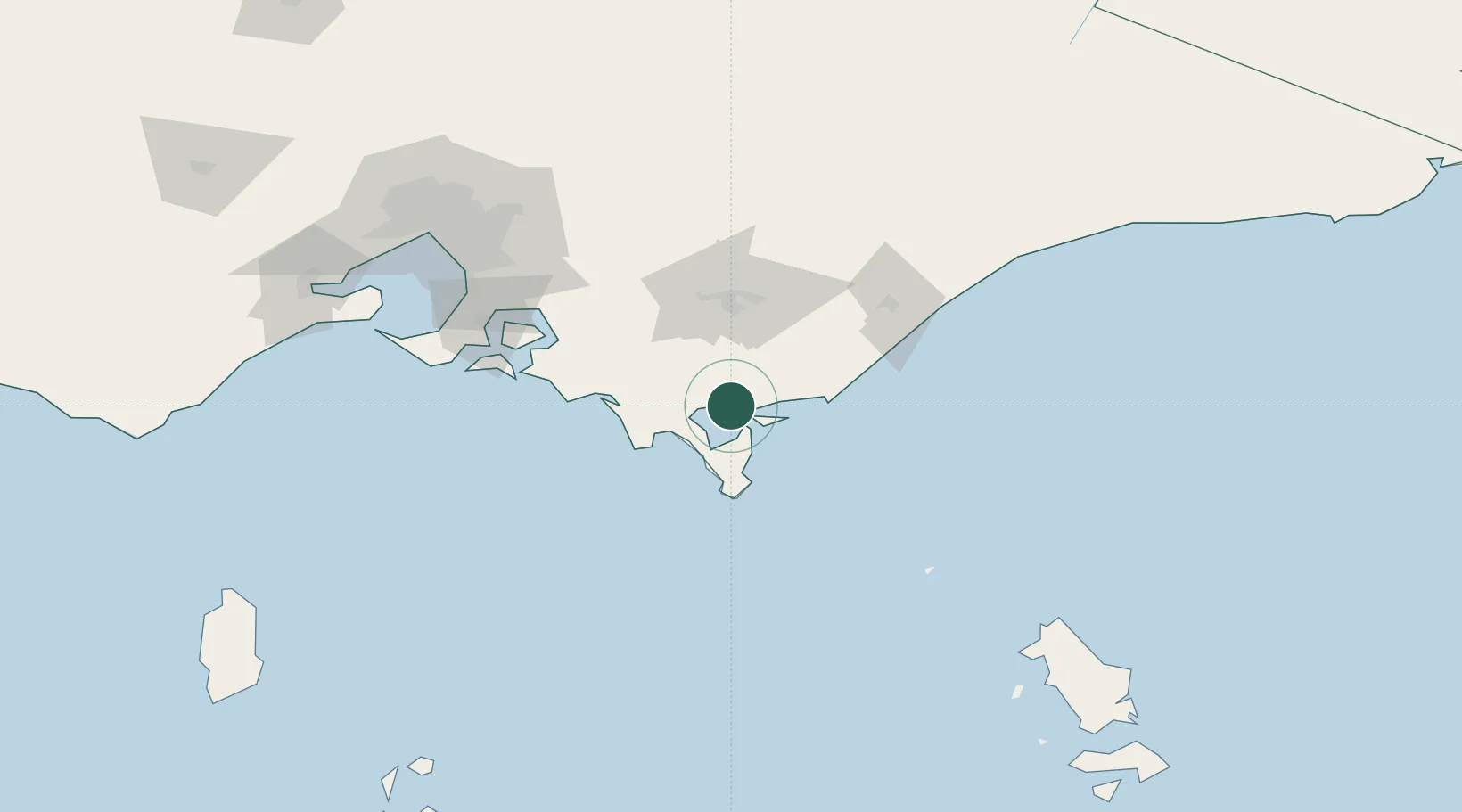
Location
Nearby Logistics Neighbours
Cities
- 1Welshpool6 km
- 2Berrys Creek42 km
- 3Moe60 km
- 4Kongwak63 km
- 5Flynn65 km
Ports
- 1Welshpool7 km
- 2Western Port107 km
- 3Melbourne157 km
- 4Geelong186 km
- 5Stanley248 km
Airports
- 1Latrobe Valley Airport55 km
- 2West Sale Airport85 km
- 3RAAF Base East Sale94 km
- 4Bairnsdale Airport137 km
- 5Melbourne Moorabbin Airport138 km
Trade Zones
DatabookThe Record of Consolidated Knowledge
Australia beyond logistics?