Channel & Berth Profile
Pilotage, Tugs & Services
Pilotage compulsoryYES
Pilotage availableYES
Pilotage advisableYES
Tug assistanceYES
Salvage tugsYES
Shore powerYES
Potable waterYES
Diesel bunkersNO
MedicalYES
Garbage disposalYES
Facilities & Capabilities
Container—
Ro-Ro—
Liquid bulk—
Dry bulkYES
Oil terminal—
Break bulk—
Dry dock—
RepairsNO
BunkeringNO
Rail linkYES
Dangerous cargo—
ISPS security—
Harbour Specifications
Harbour size
Very Small
Harbour type
Open Roadstead
Shelter
Poor
Water body
Bass Strait; South Pacific Ocean
Tidal range
2 m
Overhead limit
Yes
Pilotage
Yes
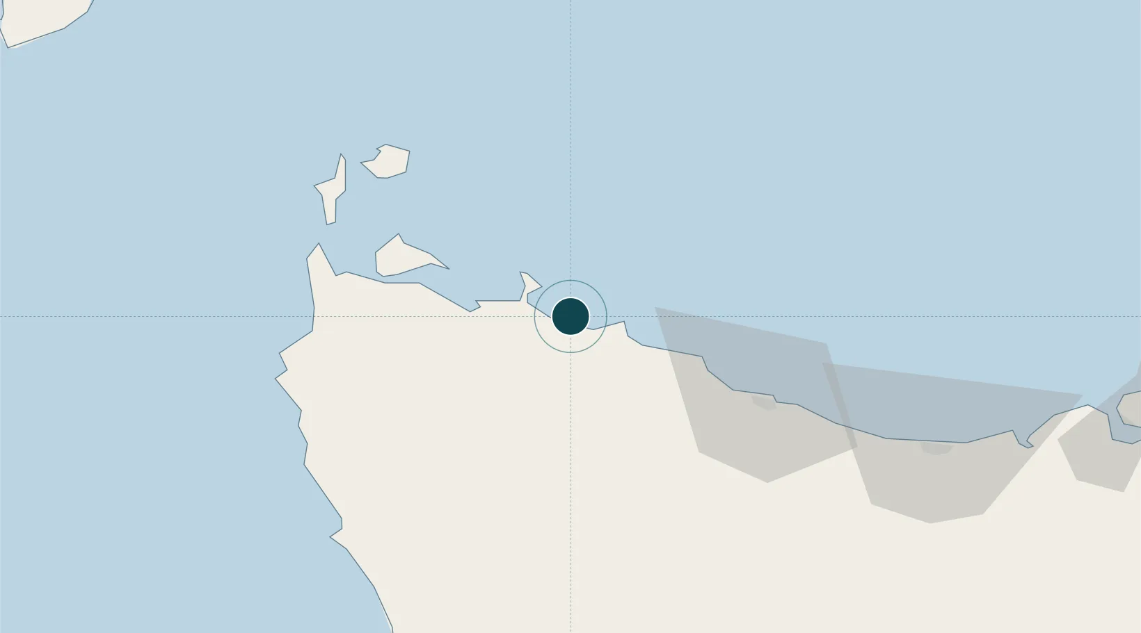
Location
Nearby Logistics Neighbours
Ports
- 1Stanley11 km
- 2Burnie53 km
- 3Devonport91 km
- 4Beauty Point125 km
- 5Port Dalrymple126 km
Airports
- 1Smithton Airport25 km
- 2Wynyard Airport34 km
- 3Devonport Airport96 km
- 4King Island Airport166 km
- 5Launceston Airport172 km
Trade Zones
DatabookThe Record of Consolidated Knowledge
Australia beyond logistics?